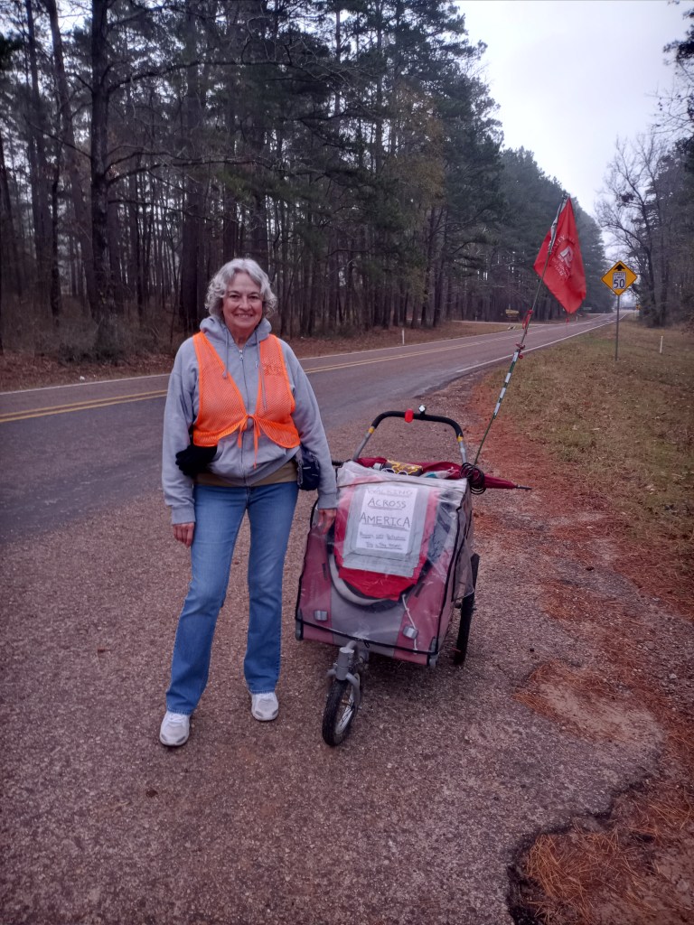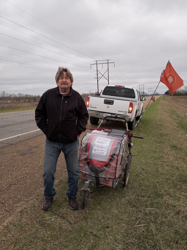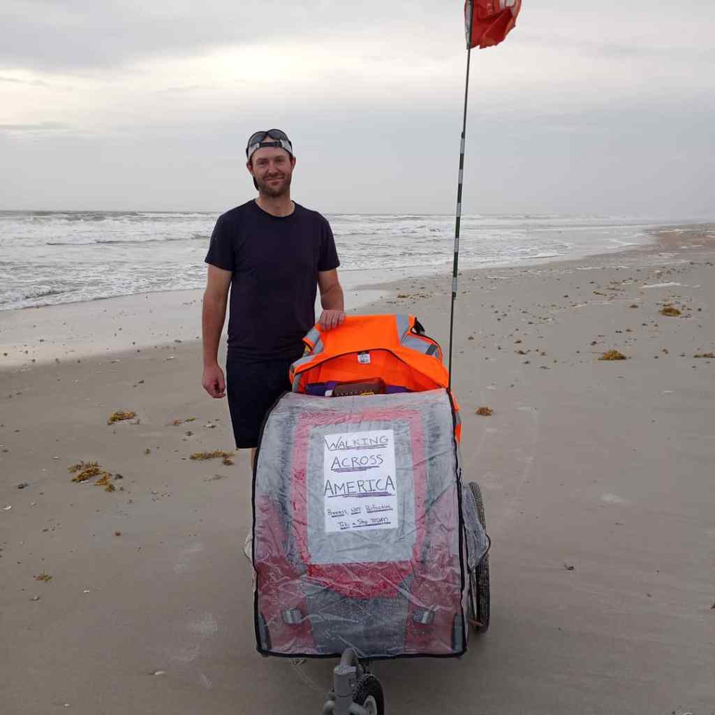
Taking an impromptu rest day in Andrews, TX was a great decision. The ensuing 11 day, 290 mile walk to El Paso gave me all I could handle!
PJ and I rolled out of Andrews around 8 AM on January 19th with the hope of reaching the New Mexico State Line, 32 miles down the road, before ending the day.
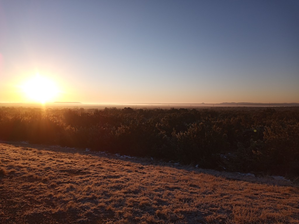
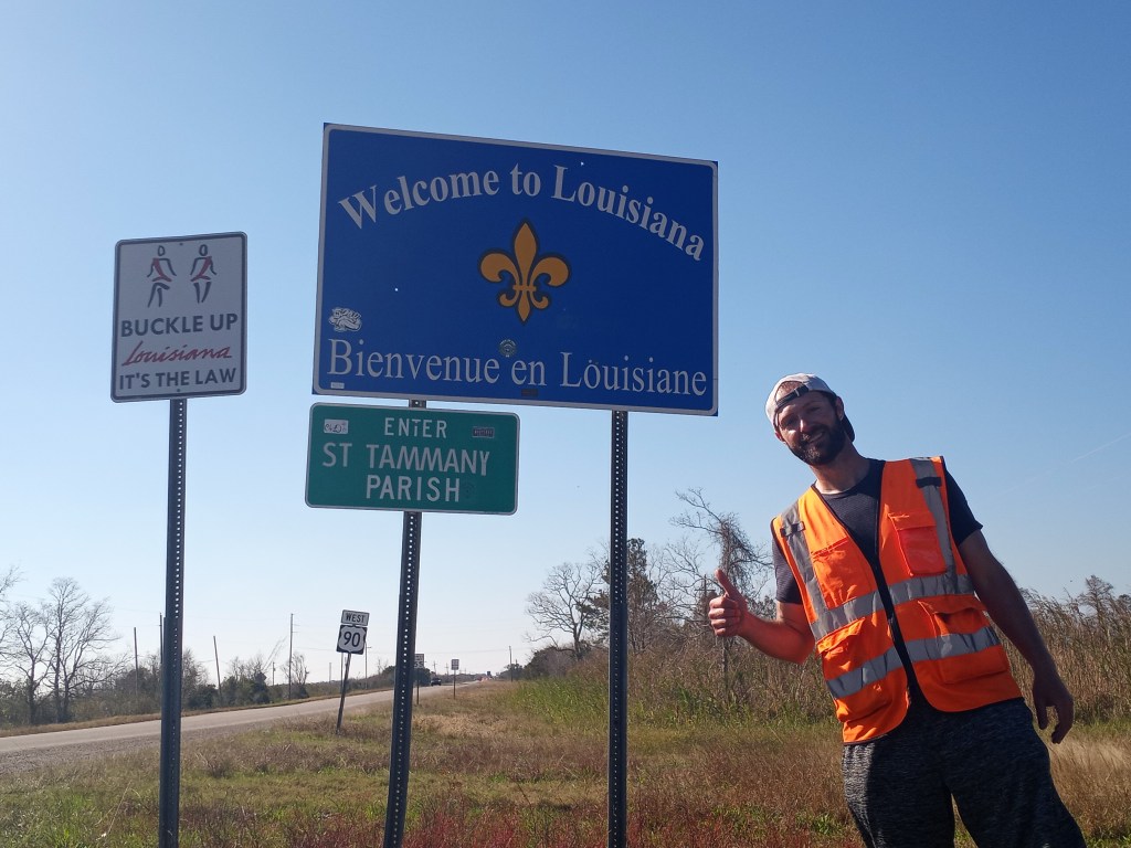
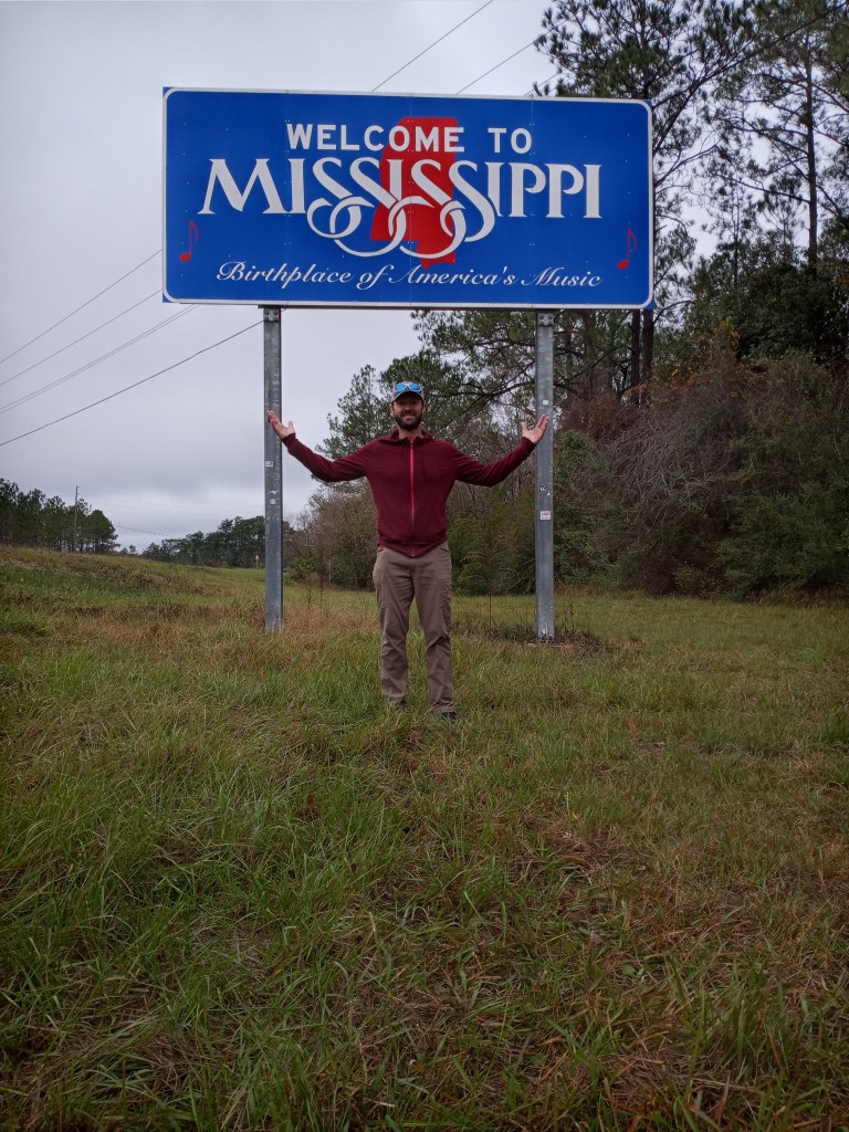
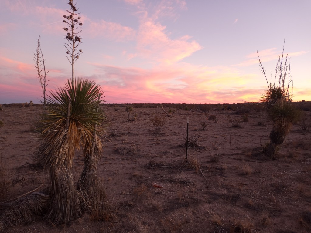
It was a cool day with temperatures in the upper 40’s, but a decent tail wind and flat terrain made the walk into New Mexico slightly easier. Other than a flat tire (Ben – 3, Thorns/Goat Heads – 2) the stretch went off without a hitch. I pushed PJ into the Land of Enchantment – our 5th state of the walk – around 7 PM. We called a rest area across the street from a Love’s Travel Stop home for the night. It was a lovely place to sleep.
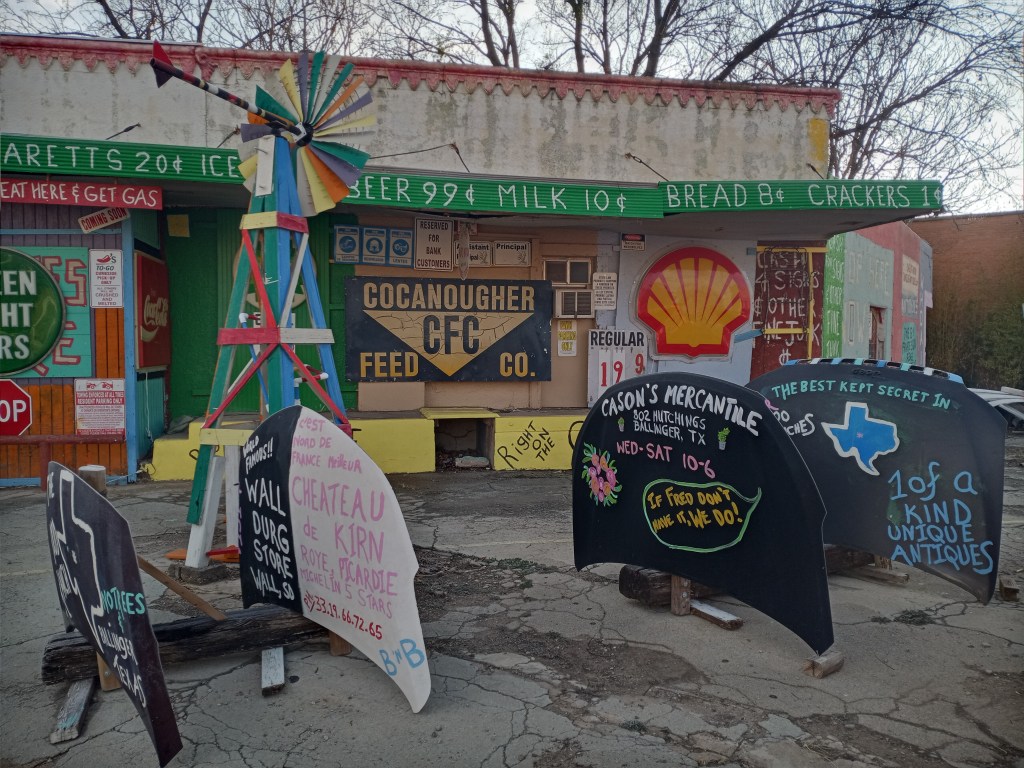
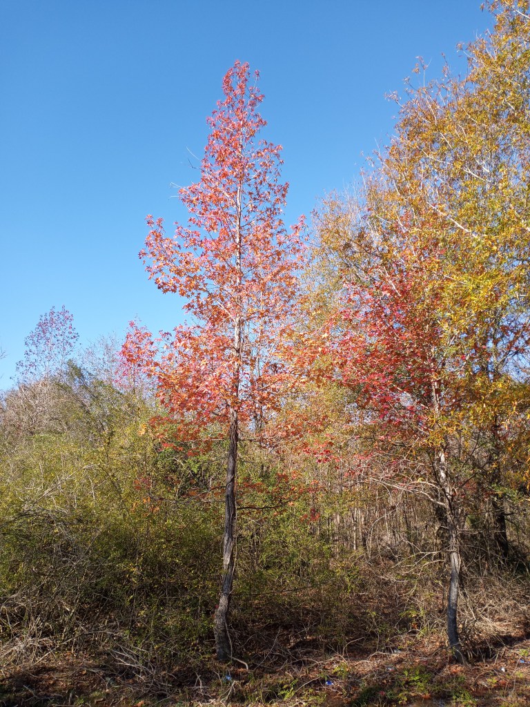
I made my way into Eunice (three miles down the road) the following morning. Overnight rain showers left the air crisp and fresh, which was perfect for exploring downtown while drinking a cup of piping hot coffee.
The next town down the road was Carlsbad. There were no services between the two New Mexican cities for 70 miles.
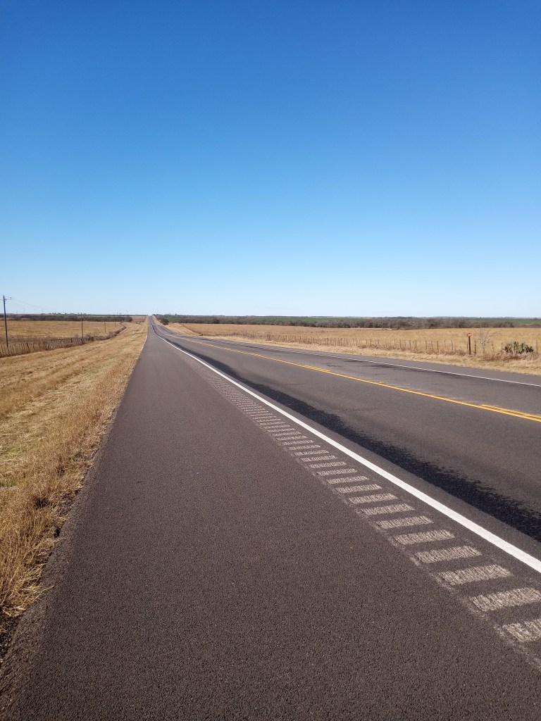
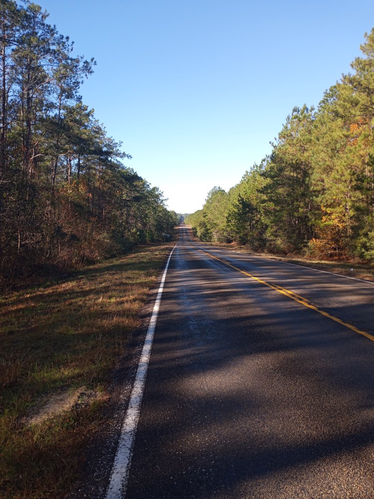
Traffic was noticeably lighter west of Eunice, which was a blessing because I hit a 10 mile stretch on Highway 176 that didn’t have a shoulder. When I was planning this portion of my walk, I had “red flagged” the ten mile stretch because I knew it didn’t have a shoulder and would be tricky. To add to the challenge, there was construction work going on. A few workers offered me a ride through and told me “I don’t know how you’re gonna push that thing down this road.”
“PJ and I always manage,” I told them with a laugh. It got sketchy in a few spots, but there was always room to scoot off the road when a line of cars approached.
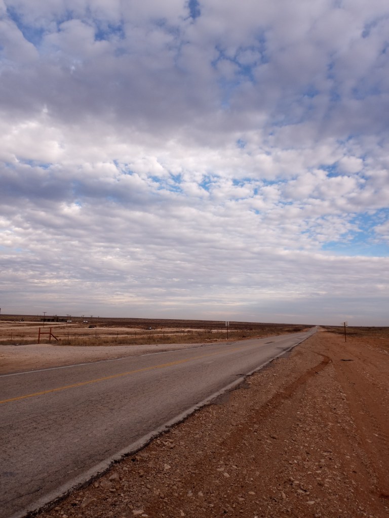
It was a bumpy ten miles!
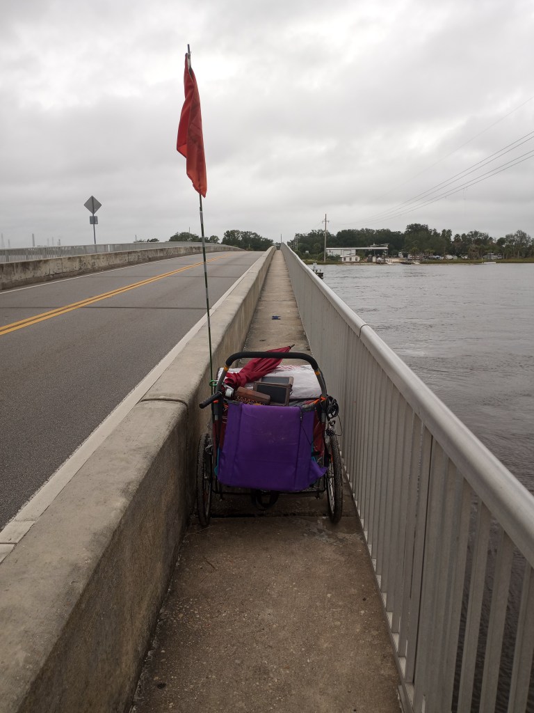
I was ready to celebrate making it through the narrow stretch as I pushed PJ up one final, small hill. All of a sudden, PJ stopped. I gave him a mighty shove, thinking his front tire was stuck on a rock. I heard a terrible screeching sound. PJ wouldn’t budge. Thankfully, we were 10 feet off the road. I looked PJ over and discovered the cause of the sound. I had run over a long piece of wire, which managed to wrap itself around PJ’s right axle and get caught in the spokes. After fighting with the wire for a few minutes, I popped the tire off and was able to remove it.
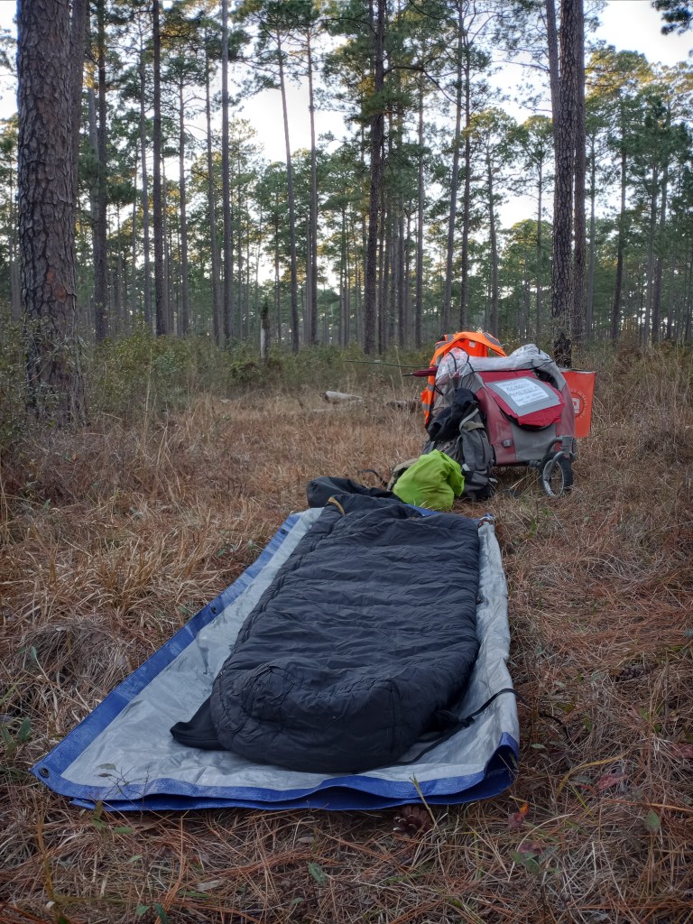
PJ and I traveled for another five miles after dark and it didn’t seem like the wire did any permanent damage. I cowboy camped off a little dirt road for the night after an eventful day.
I pressed on towards Carlsbad in the morning. I hit the junction of Highways 176 and 180 after walking six early morning miles and decided to take a breakfast break.
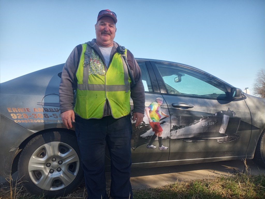
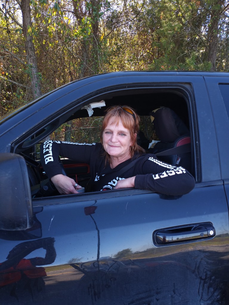
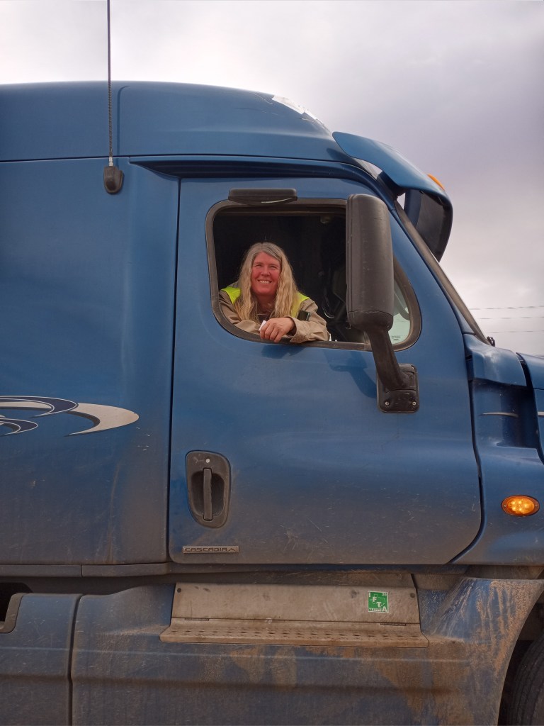
Socially, it had been a quiet few days since leaving Andrews until a few truckers befriended me during my break. Allison, who drives a sand truck for an oil company based in Texas, pulled over. She motioned for me to come talk to her as she stuck her head out of the window of her big rig.
“I saw you four times yesterday! What are you doing?” We visited for 30 minutes before she needed to get back to work.
After I finished breakfast, I was walking back to the highway when another trucker pulled over.
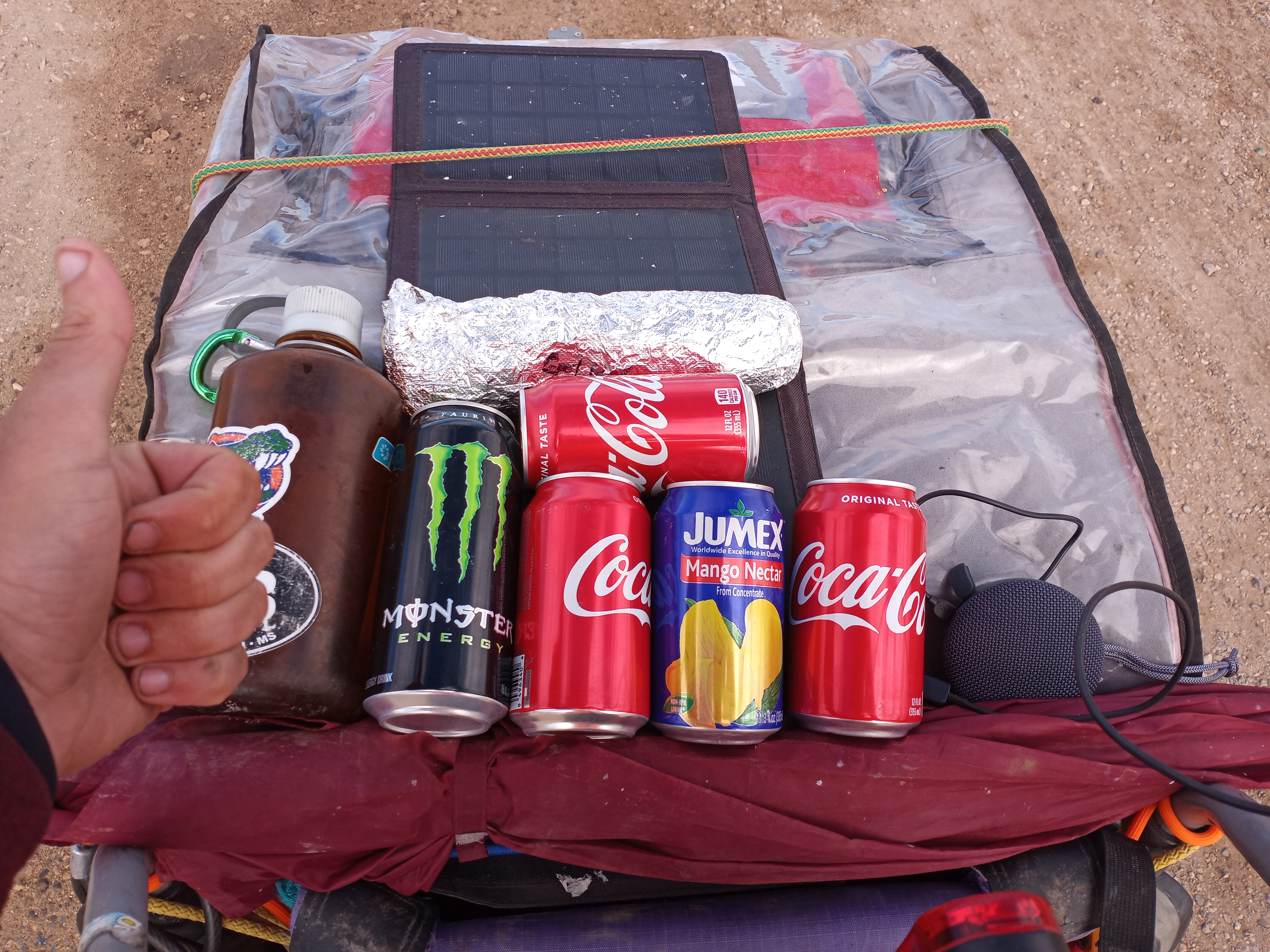
My Spanish isn’t good (I know plenty of swear words thanks to years of working in a Mexican restaurant, but it ends there), but I think my new friend Miguel understood what I’m doing and why. He sent me on my way with three Cokes, a Monster, a can of juice, and a tasty steak burrito. Thank you for the food and drink, Miguel!
Another two kind New Mexicans stopped and offered me a ride into Carlsbad when an afternoon storm moved in. The people I have met so far in The Land of Enchantment are certainly warm and welcoming!
I didn’t reach Carlsbad like I had hoped. I ended the day seven miles shy of town and camped in the desert off Highway 180. Just a man and his buggy under a clear desert sky!
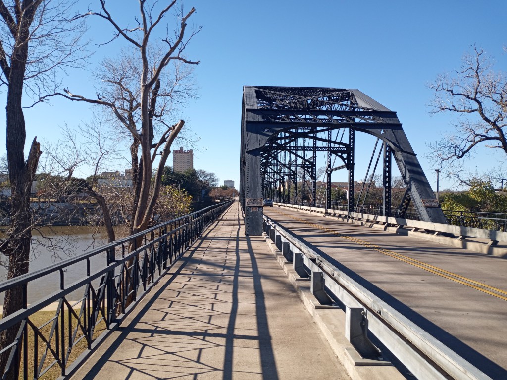
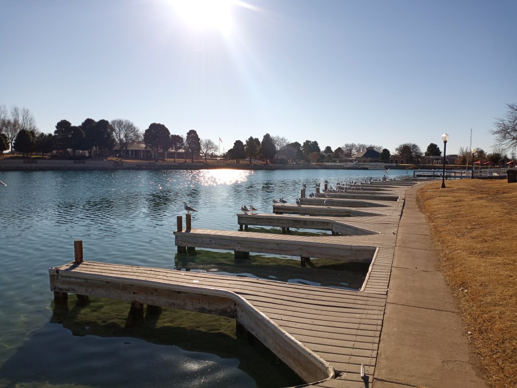
I reached Carlsbad in the morning and spent the day playing tourist and walking errands. I sunbathed along the banks of the Pecos River in a beautiful city park, meandered through downtown, and stopped by a Walmart to pick up some supplies for the desolate walk to El Paso.
Two of my biggest cheerleaders insisted that I stay in a hotel for the night in town, on them. I settled on a Motel 6 in the southern portion of the city to finish my preparations for the walk to El Paso. Thank you, Mom and Dad!
From Carlsbad, El Paso is about 160 miles away. After leaving Whites City (18 miles south) there are no reliable services for 130 miles! I packed six gallons of water (which weighs a whopping 48 pounds) and enough Ramen, tuna fish, and peanut butter for the six or seven day walk. PJ was HEAVY. To lighten PJ’s load a bit (he can only carry 100 pounds) I carried my trusty backpack, Forest, for the first few days out of Carlsbad. Before leaving Carlsbad, Forest enjoyed a life of leisure riding inside my buggy. It was time to put him to work!
I enjoyed a quiet 24 mile walk south from Carlsbad and camped for the night on some BLM land off Highway 180. I could see the faint outline of the Guadalupe Mountains in the distance.
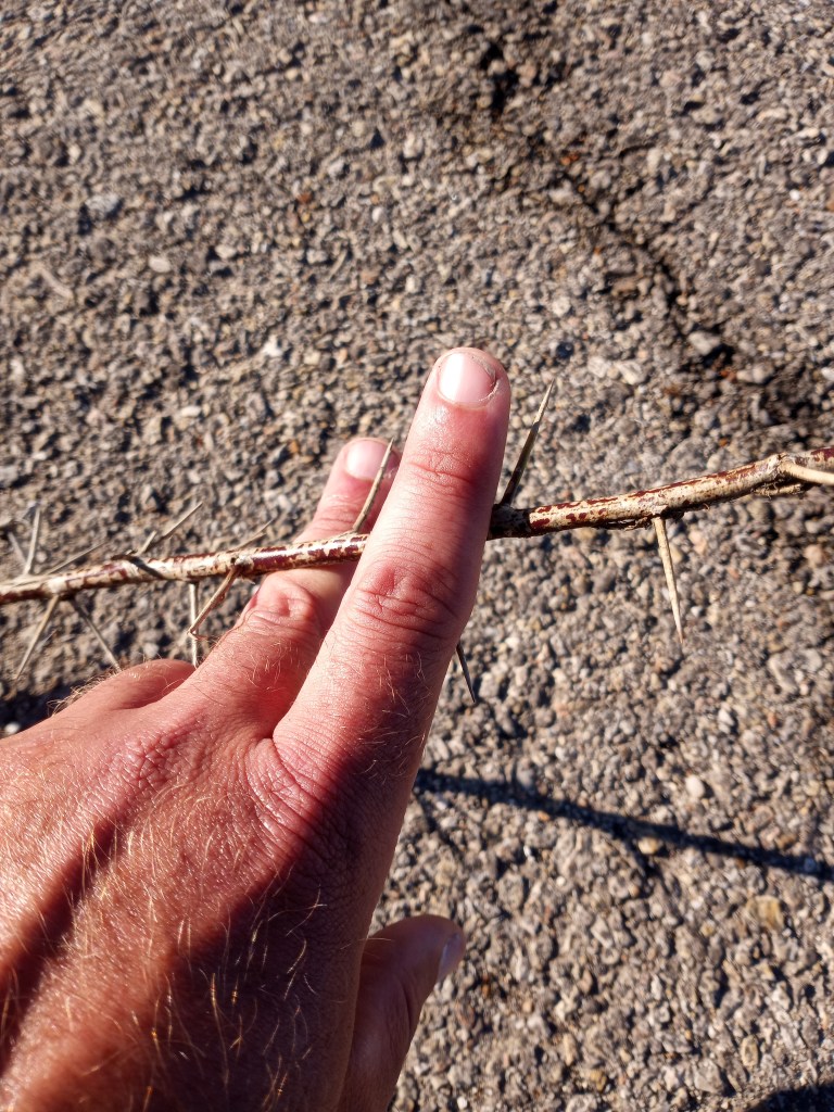
Things didn’t begin as planned the next morning. I woke up with a flat front tire. Anytime I push PJ off the friendly confines of the highway shoulder (where thorns and goats heads are typically blown off the pavement) I run a higher chance of getting a flat.
I wasn’t worried. I removed the front tire, patched it, pumped it back up, and started walking. A mile later, the tire went flat, again. This time, I put in a fresh tube. I inflated the tire to about 70 percent of the ideal PSI and my pump broke. It simply stopped pushing out air. There was no way I was going to walk to El Paso without a fully functioning air pump.
My best option was to walk the eight miles back to Whites City, get a campsite for the night, and figure out a way to get a new pump. It was disheartening to spend the morning walking backwards (east), but I had no doubt my pump broke for a good reason. If my pump broke 60 miles down the road, I would have really be stuck between a rock and a hard place.
After setting up camp, I made my rounds through the campground looking for someone who could drive me to the Walmart in Carlsbad. Some oil workers would have given me a lift, but they were enjoying the leisurely Sunday with some adult beverages and couldn’t drive.
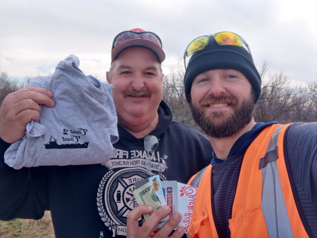
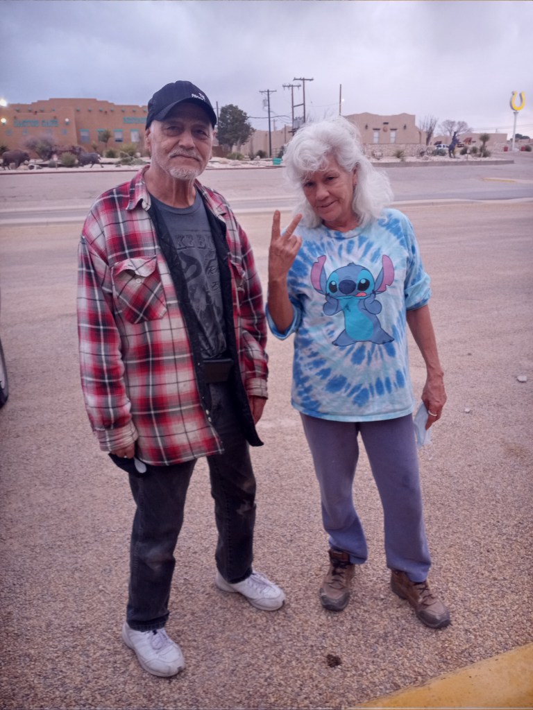
I began chatting with a woman named Bridgette who lived in a cabin next to the campground. She didn’t have a car, but called her brother who lives in Carlsbad. Sam offered to buy me a pump and drive it up to the campground! He arrived a few hours later with a floor pump in hand. It was 10 times the size of my preferred hand pump, but the selection at Walmart was limited. It would do the trick.
In addition to helping me get a new pump, Bridgette also gave me a bag full of snacks and kept me company throughout the day. Thank you, Bridgette and Sam, for your help!
A pretty hearty wind storm blew through during the evening and I didn’t know if my tent could withstand 40 mile per hour wind gusts. I broke down camp at 8 PM and slept next to the old shower house between the building and a concrete wall, comfortably sheltered from the wind. What a day!
I left Whites City Campground at 7 in the morning excited to resume my walk to El Paso. I was grateful that the pump debacle only delayed my walk for a day.
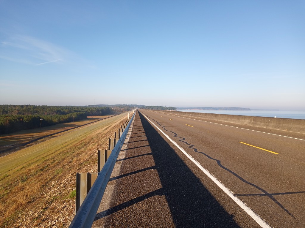
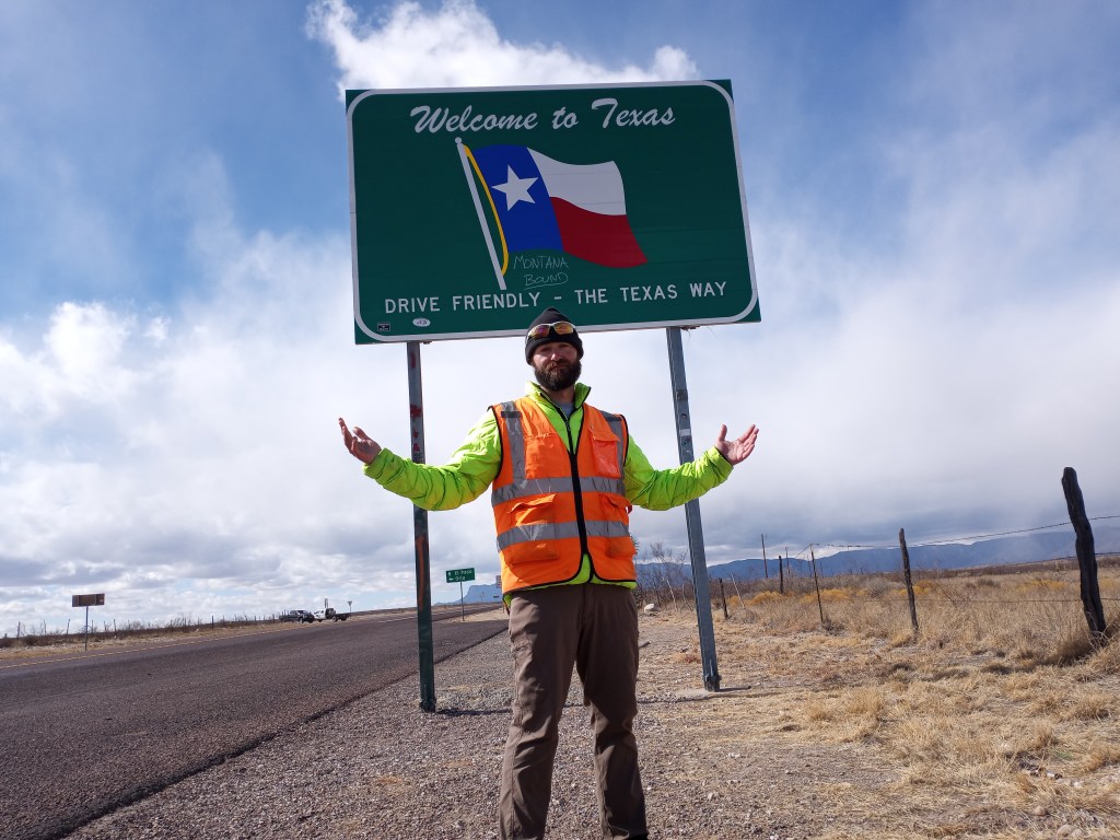
After a few quiet and calm hours of walking to start the morning, sustained winds of 25 miles per hour (with gusts of 40) joined me for the remainder of the day. Walking 27 miles straight into the wind was exhausting! PJ’s weight and some sizeable hills added to the challenge. I ended the day at a rest area – back in Texas!
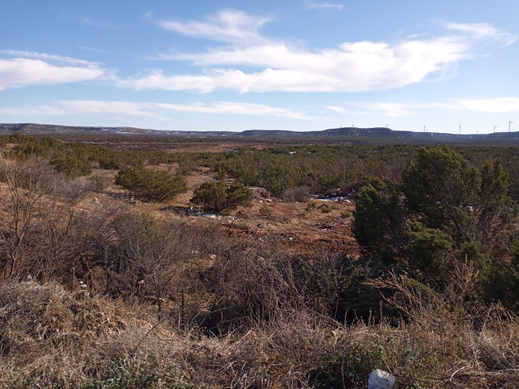
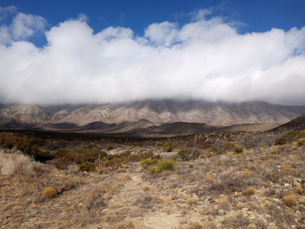
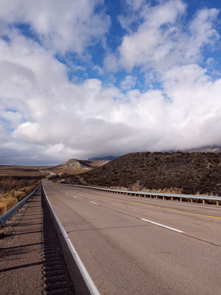
On January 26th, I began my walk over the Guadalupe Mountains. To be honest, I didn’t know Texas had mountains until I began planning my walk! The Guadalupes would give me all that I could handle!
From the rest area, I started climbing immediately. The wind was really whipping (surprise, surprise, right in my face!) making every step a little harder. I gradually ticked off miles. Clouds covered the higher peaks in the mountain range.
After climbing about 1,000 feet, snow flakes started flying. Every flake that the relentless wind blew into my face felt like a pin prick.
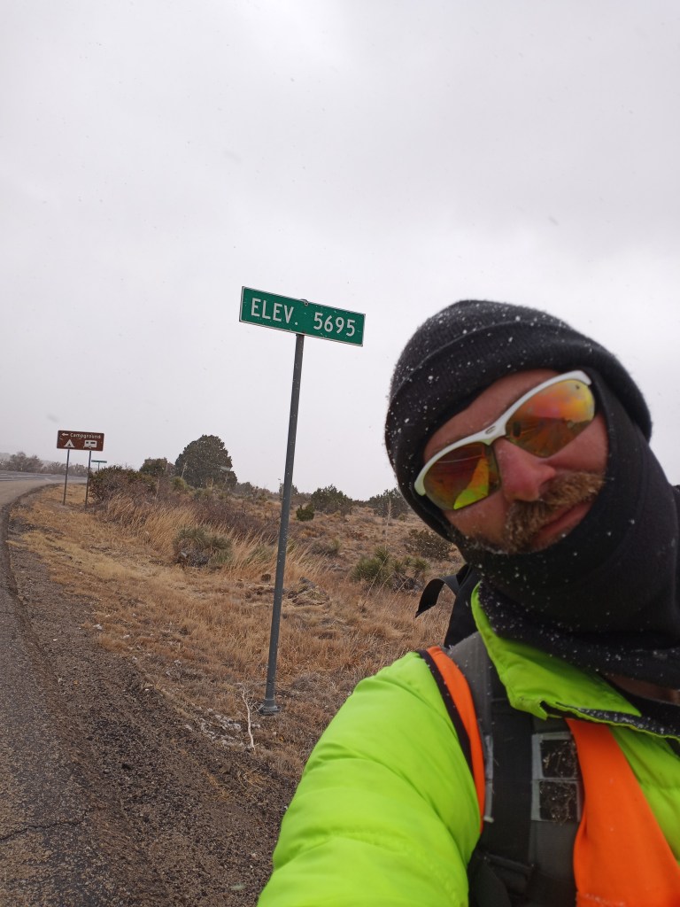
After 10 challenging miles, I reached the summit of Guadalupe Pass at an elevation of 5,695 feet. The storm that was blowing through prevented me from seeing the peaks in Guadalupe National Park as I took a chilly break.
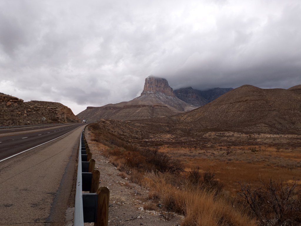
From the summit of the pass, it was a downhill walk to the valley floor. After a few more miles, I turned around and caught of glimpse of El Capitan, one of the signature rocky peaks in the mountain range. It appeared the Guadalupe Mountains wanted to reward me for my efforts with a stupendous view!
I pressed on for another eight miles and decided to call it a day when I came across a bridge that had a nice, cozy spot underneath where I could cowboy camp and stay out of the wind for the night. I was in my sleeping bag and ready for bed at 4 PM.
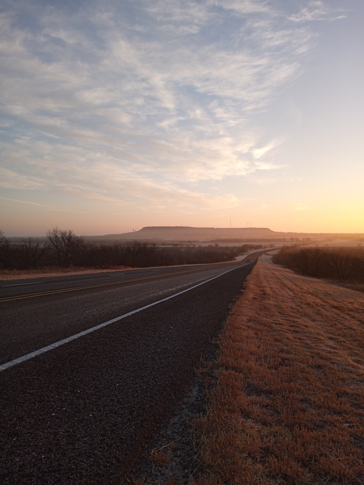
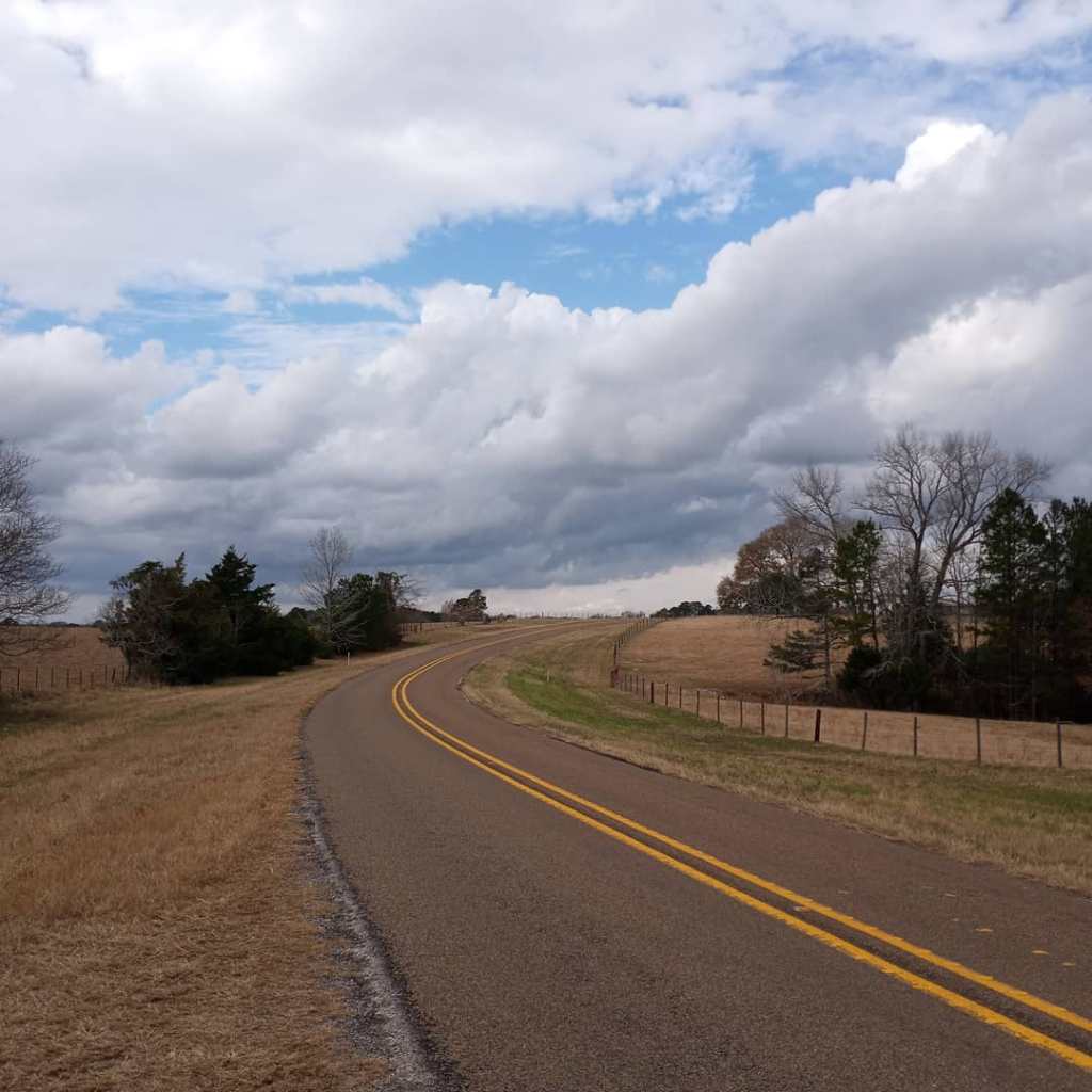
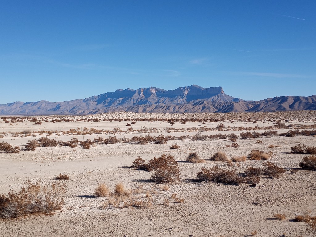
I woke up the following morning to chilly temperatures (a low of 26!) but sunny skies. The wind died down overnight and the forecast called for calmer conditions for the next three days! After packing up camp and returning to the road shoulder, I caught a glimpse of the magnificent Guadalupe Mountains, free of any clouds!
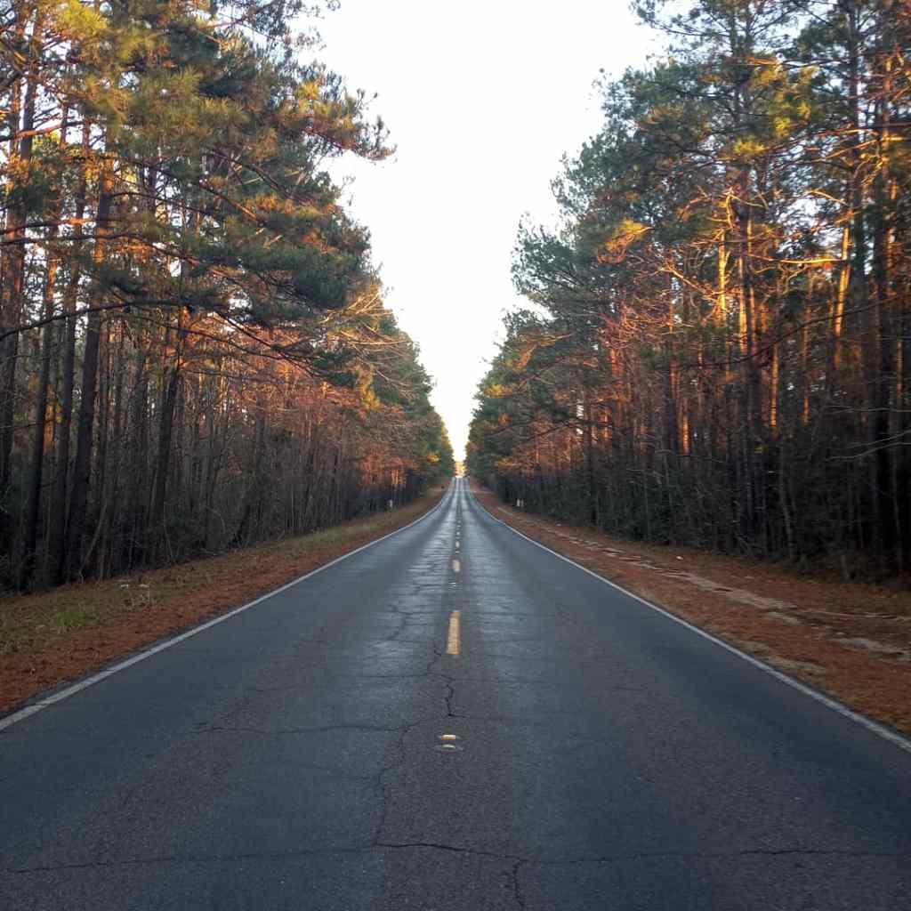
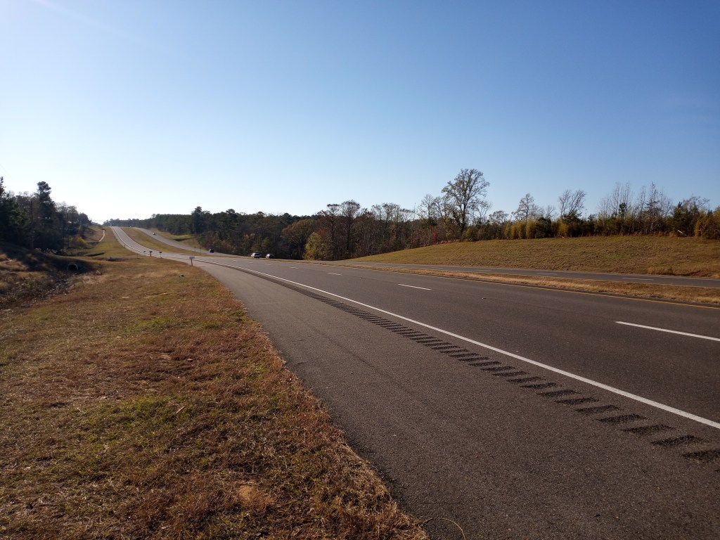
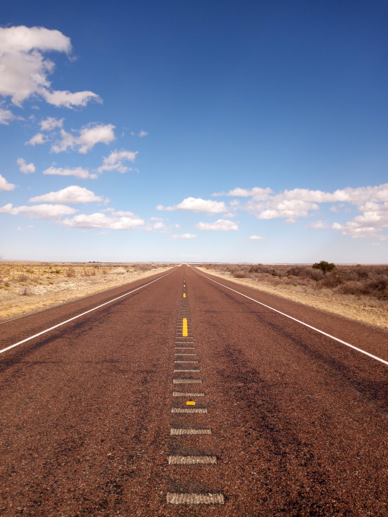
It’s tough to say that walking 36 miles is easy, but my walk from the bridge to the tiny town of Cornudas was as easy as a 36 mile trek could be. I enjoyed beautiful desert scenery all day, flat terrain, a large shoulder, and no wind. PJ was back to his normal weight, too, which made the miles fly by.
I experienced some more Texas roadside generosity from a woman named Melinda. She was driving to Carlsbad from El Paso for work. Melinda is an avid runner and laces up her running shoes when she travels. We shared stories about aggressive dog encounters and talked about “pedestrian dignity” (or lack thereof), in different parts of the country we have explored on foot. It was a hoot visiting with her. She sent me on my way with a Visa gift card I’ll be using for PJ’s new shoes in El Paso. Thank you, Melinda!
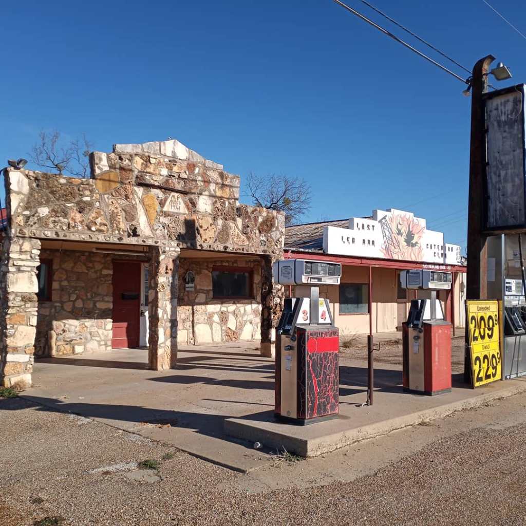
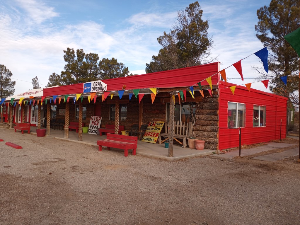
I reached the small campground behind the Cornudas Cafe shortly after dark. The next morning, I popped into the cafe and enjoyed way too much coffee and a heaping portion of eggs, bacon, and potatoes. I enjoyed breakfast, but the company was even better. Jenny, my server, and the owner, Jeff, kept me company while I ate. I learned more about this unique part of Texas and loved listening to their strories about life in the desert.
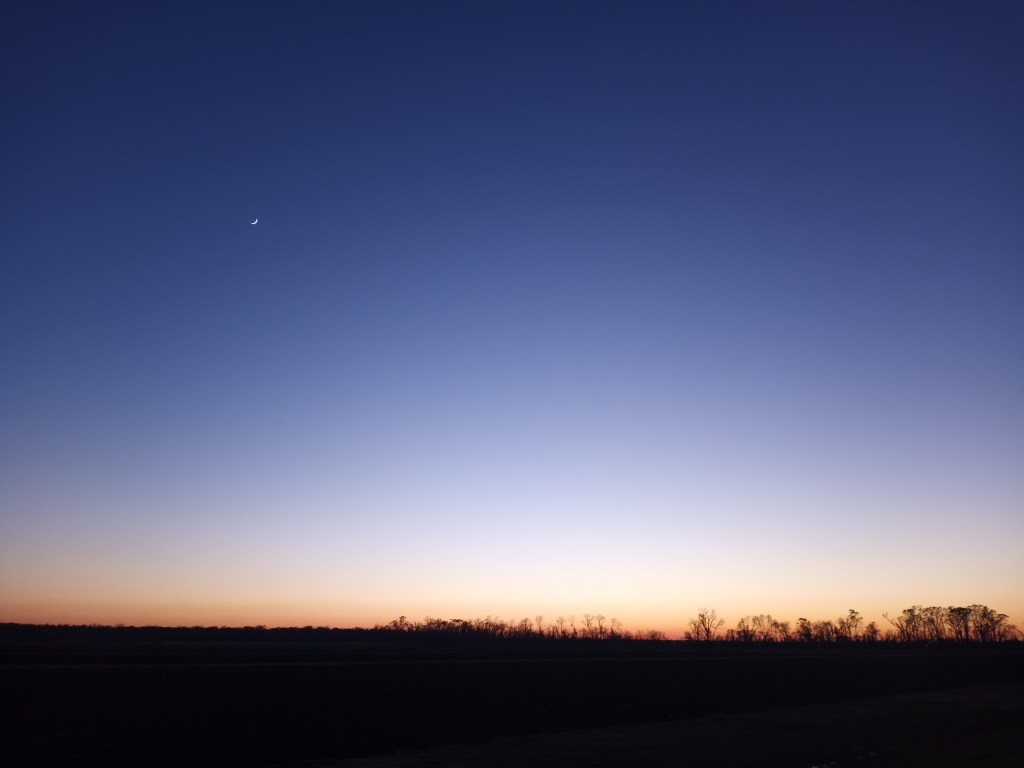
My walk to the outskirts of El Paso started around 8:30. Despite the late start, I walked 40 miles. After dark, a beautiful full moon lit up the highway shoulder and surrounding desert. It was a magical (and surprisingly quiet) walk in the dark. I ended the day 22 miles from downtown El Paso. The flickering city lights from the El Paso/Juarez metropolitan area were visible from my camping spot.
I was right to acquire another bike pump before leaving Whites City. I woke up to another flat front tire. It must have been the celebratory donuts I was spinning in the desert at the sight of El Paso’s city lights! I installed my last remaining front tube and rolled into town. Thorns/Goat Heads – 4, Ben – 3.
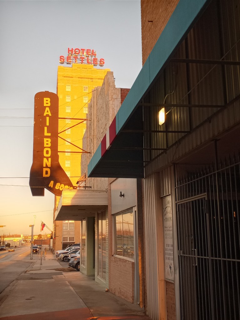
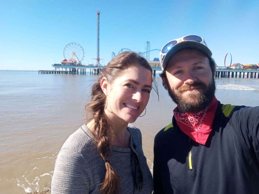
After a primarily suburban walk and a few shopping stops, I arrived at a La Quinta Hotel a few miles east of downtown El Paso where I am taking a few days off. El Paso marks the 2/3rds point on my third walk across America!
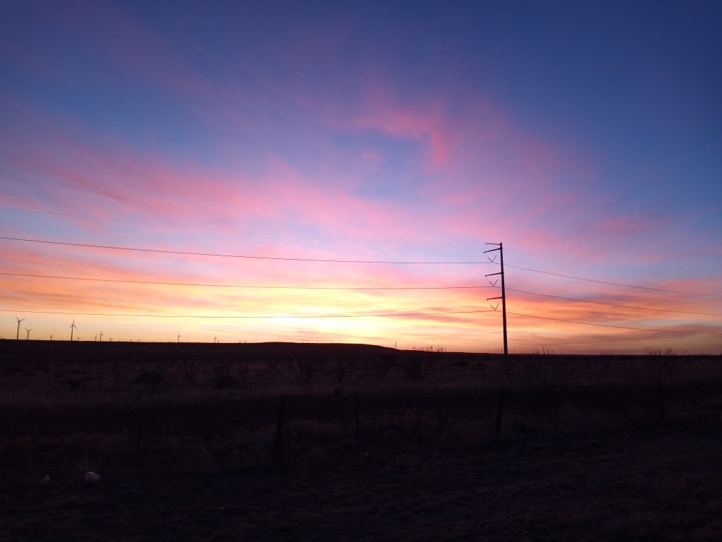
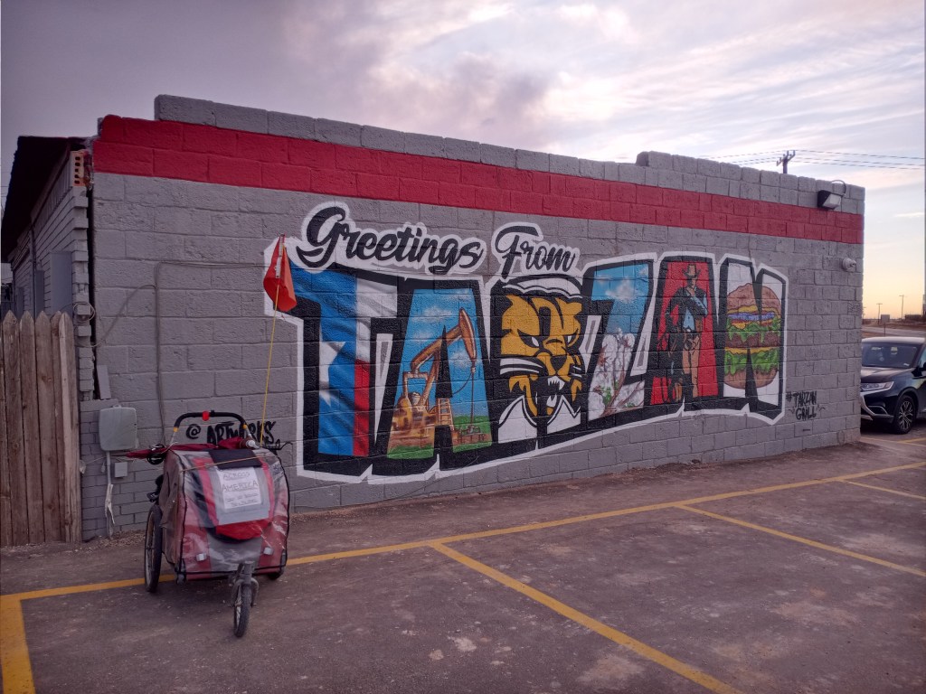
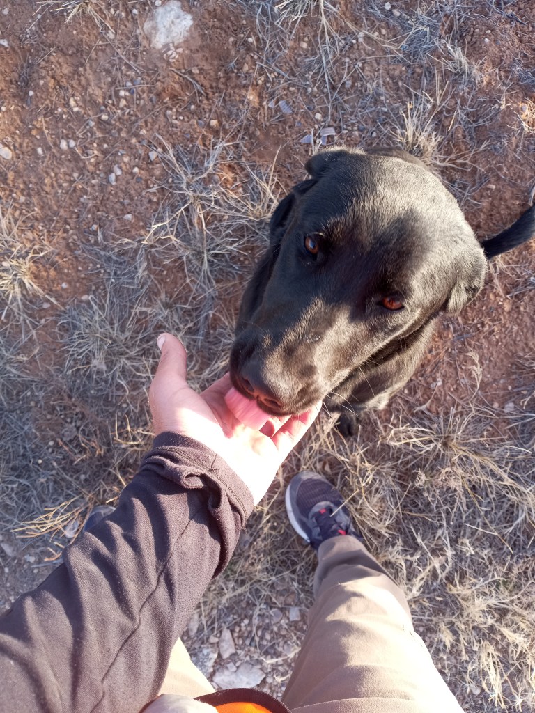
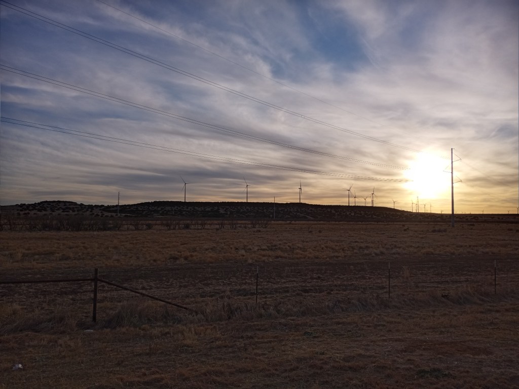
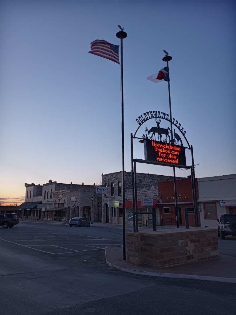
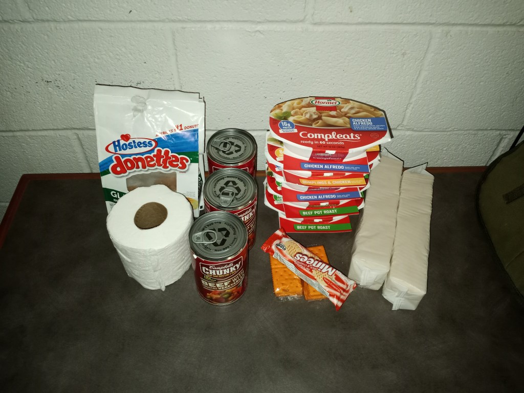
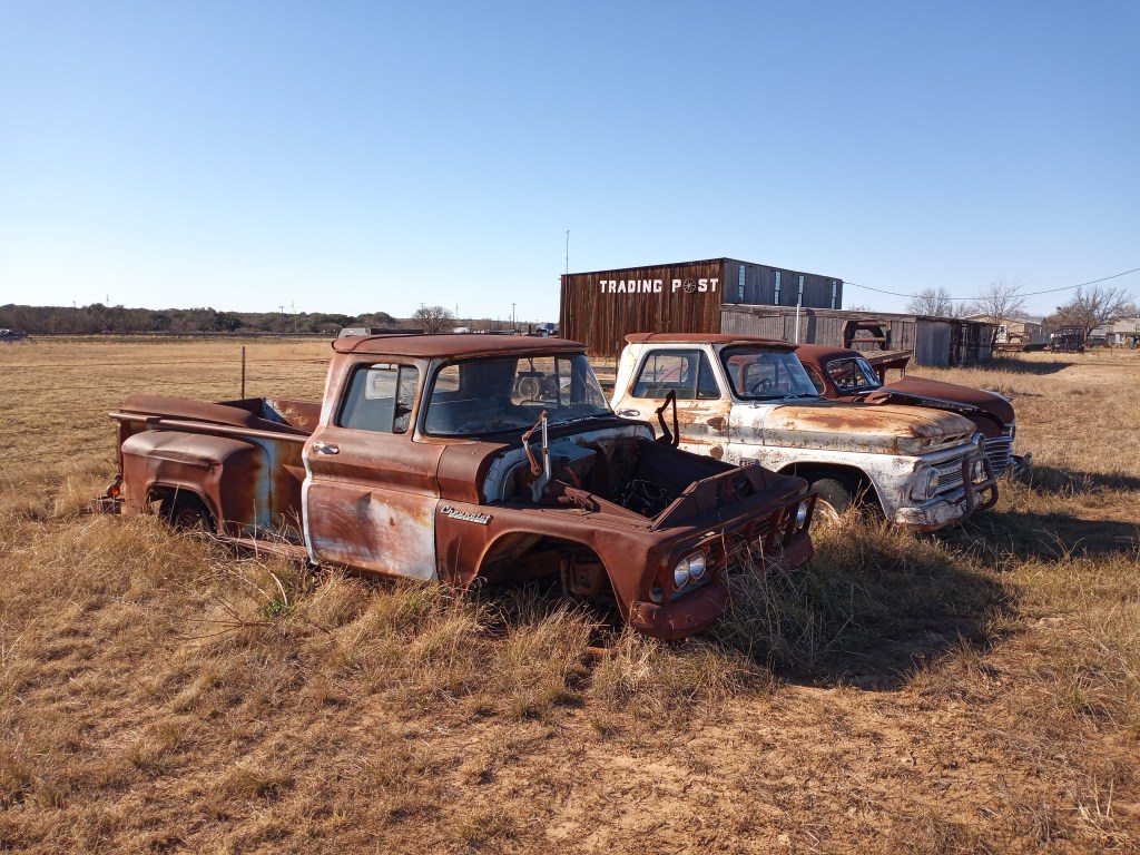
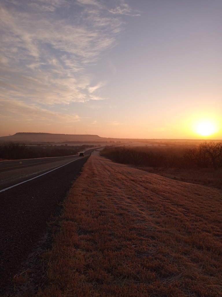
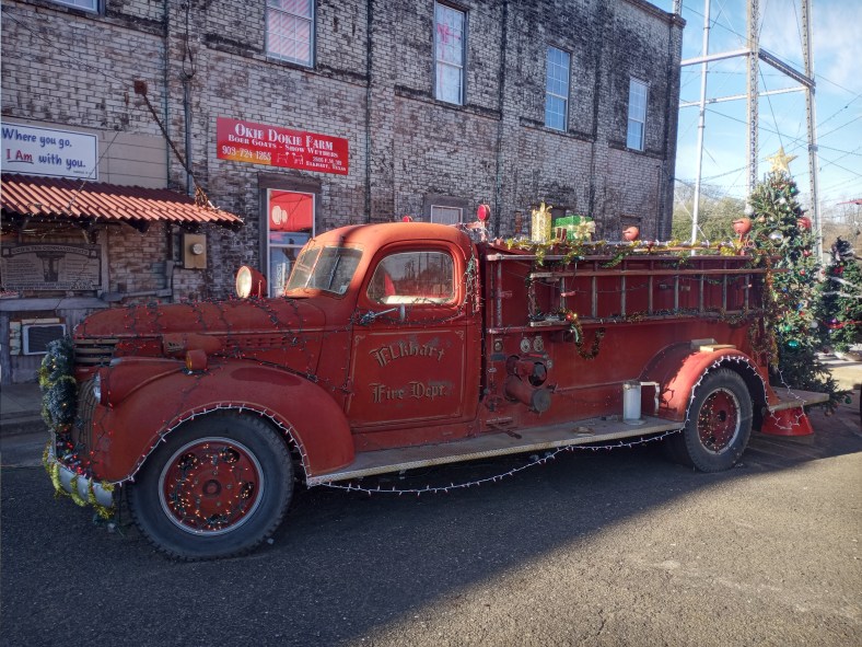
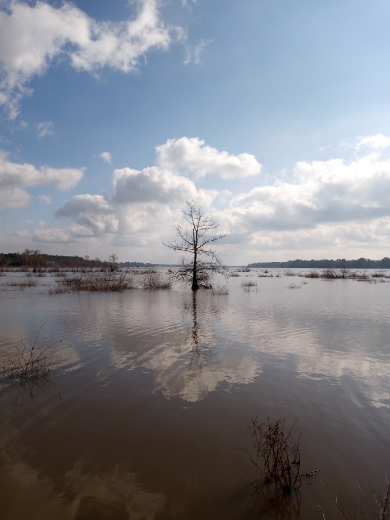
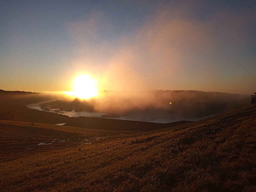
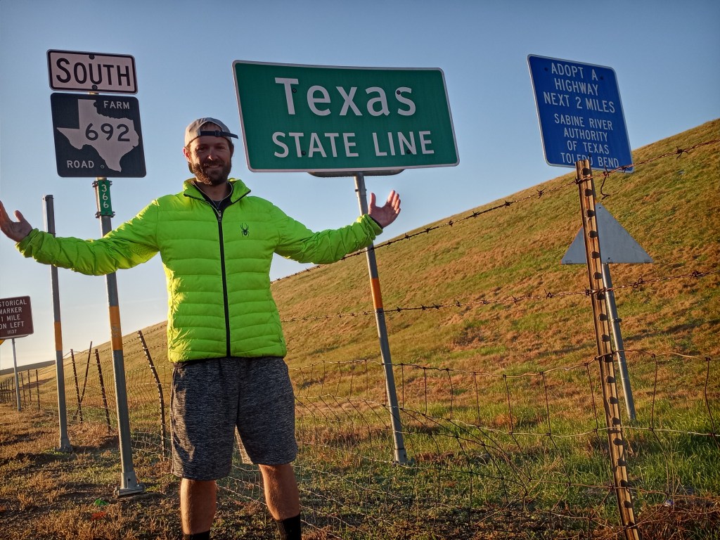
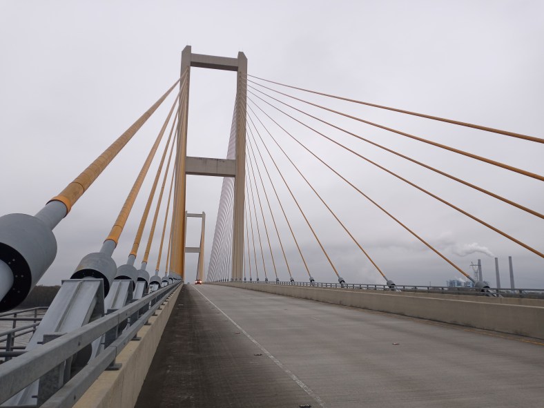
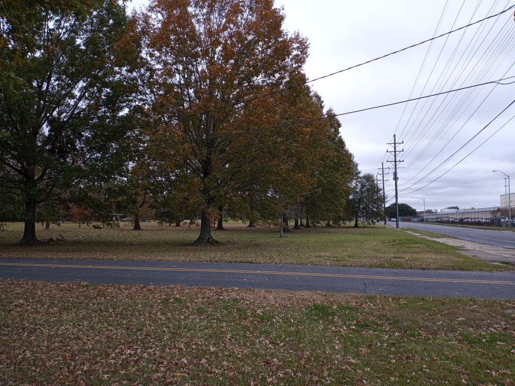
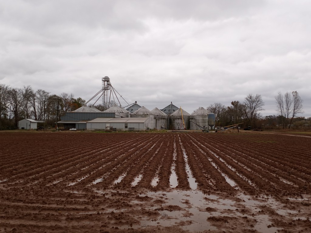
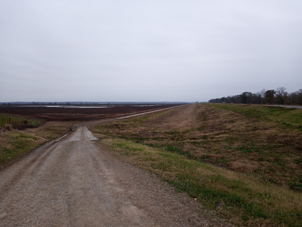
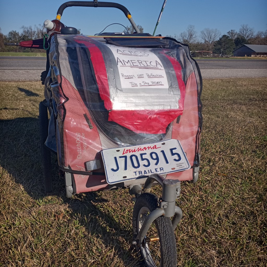
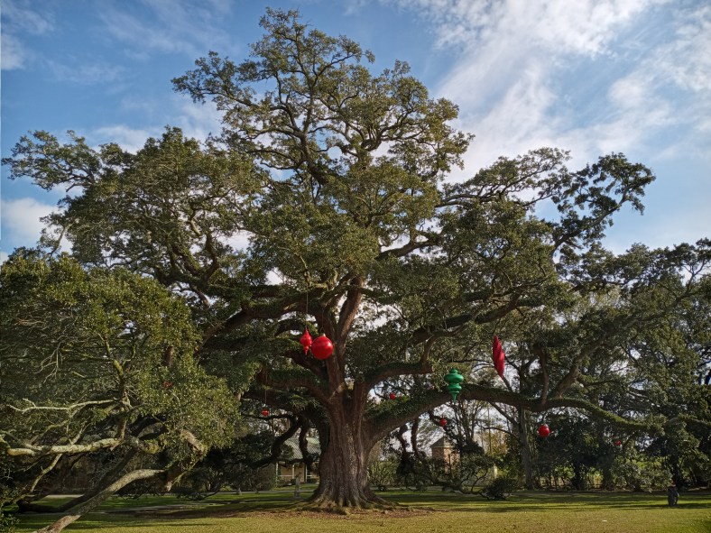
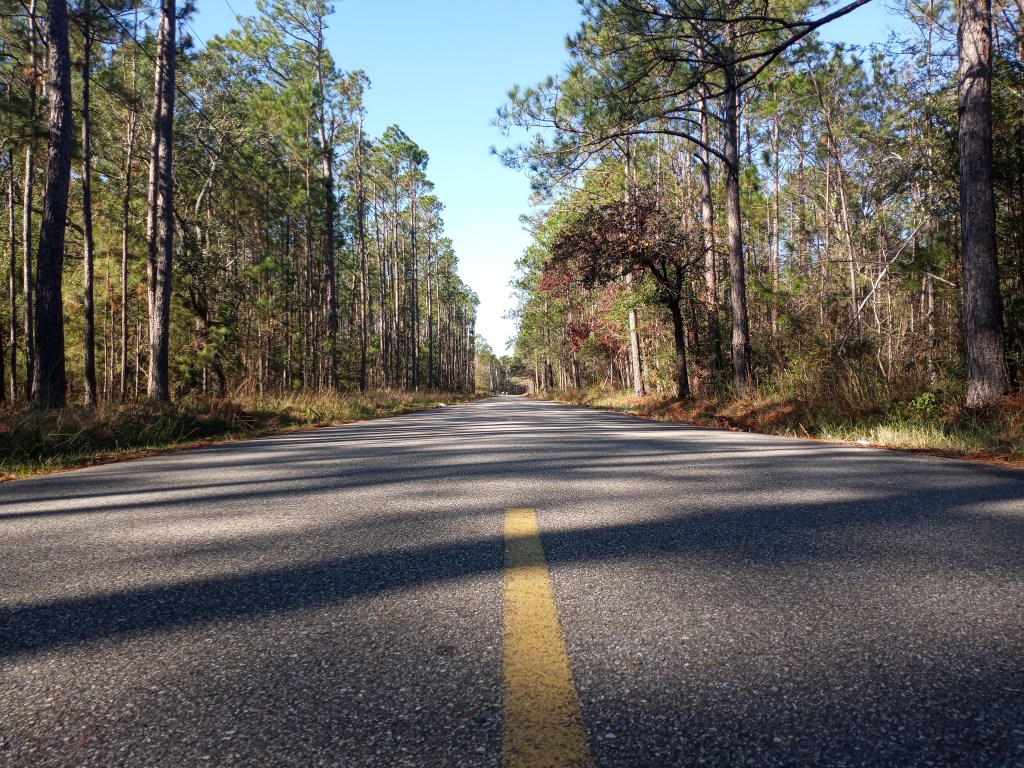
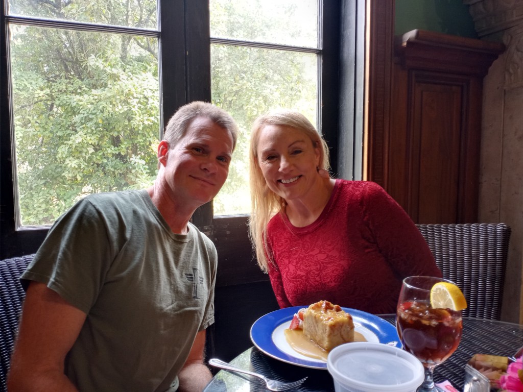
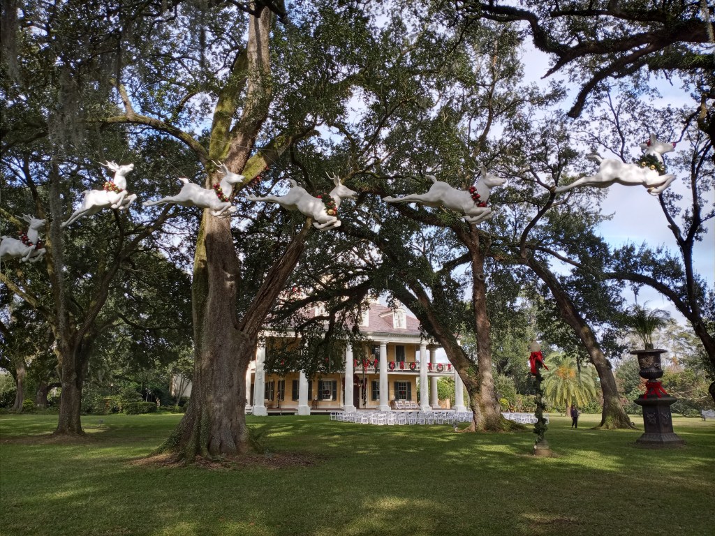
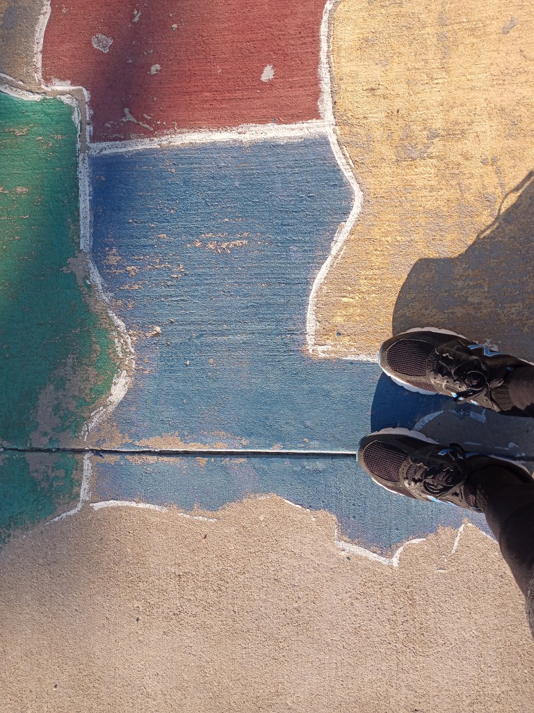
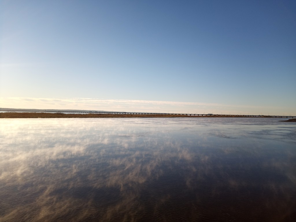
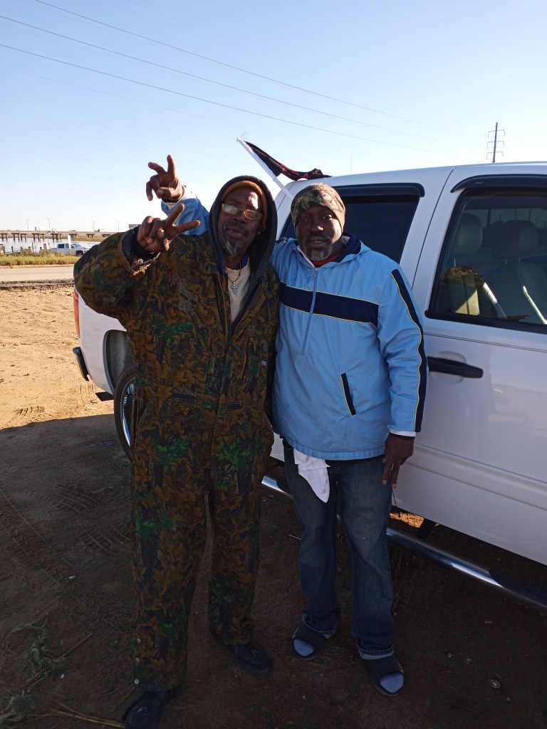
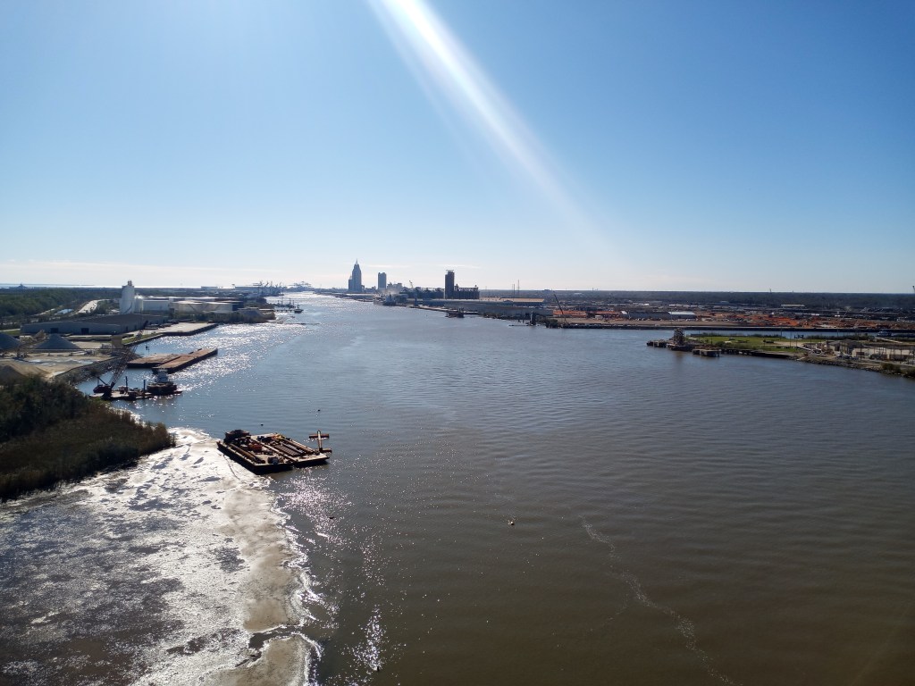
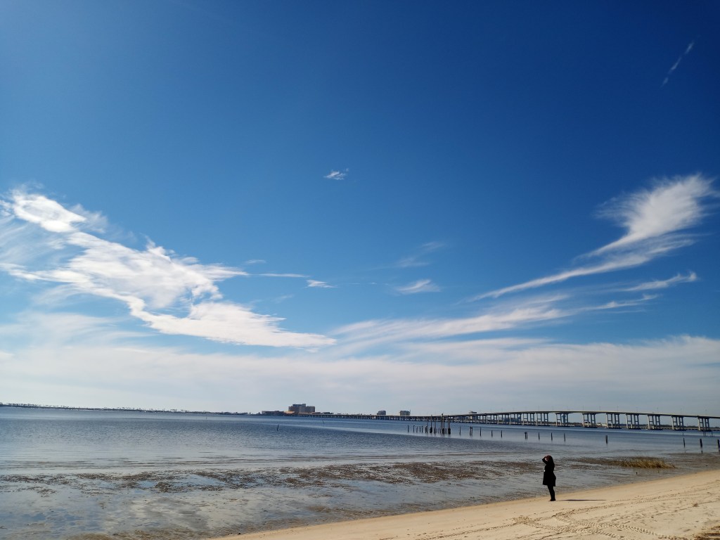
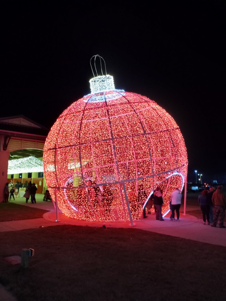
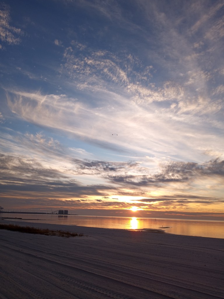
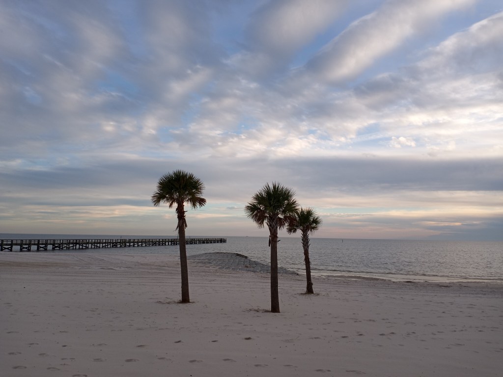
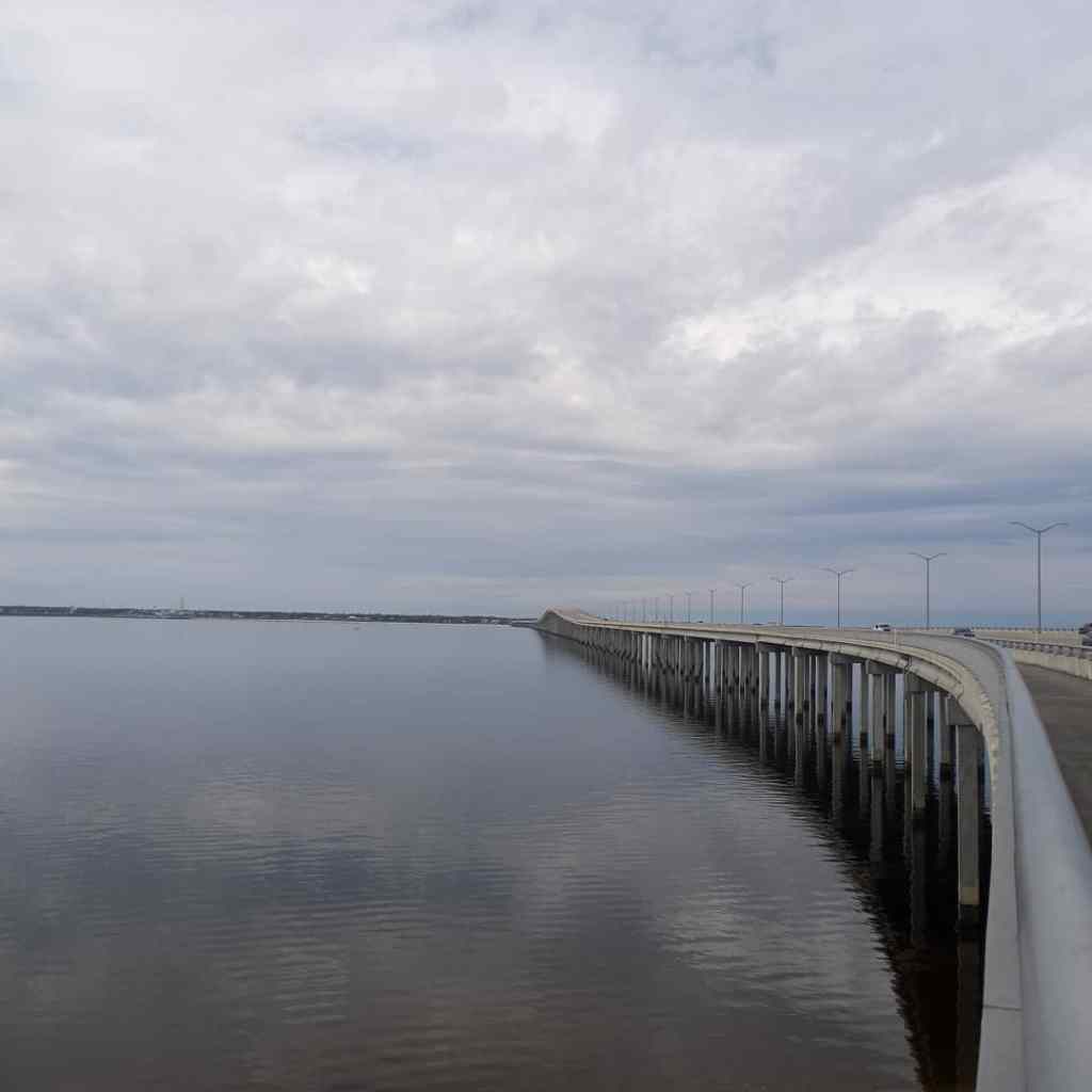
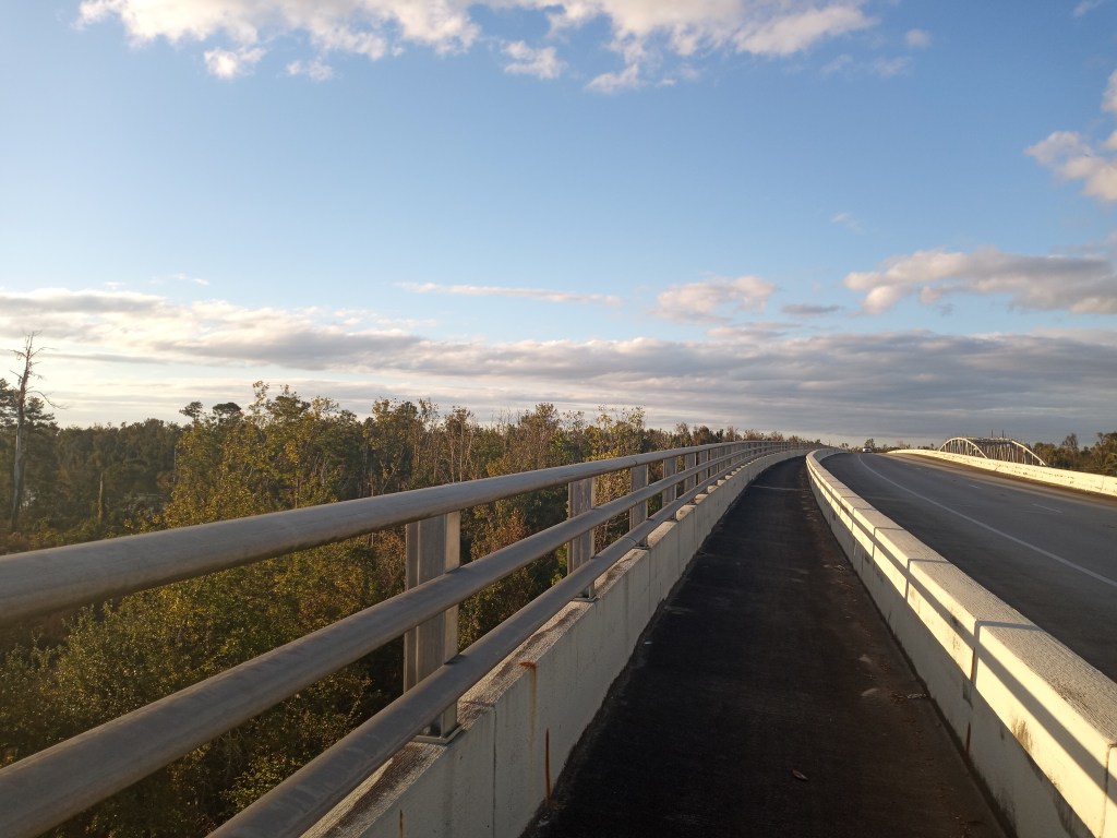
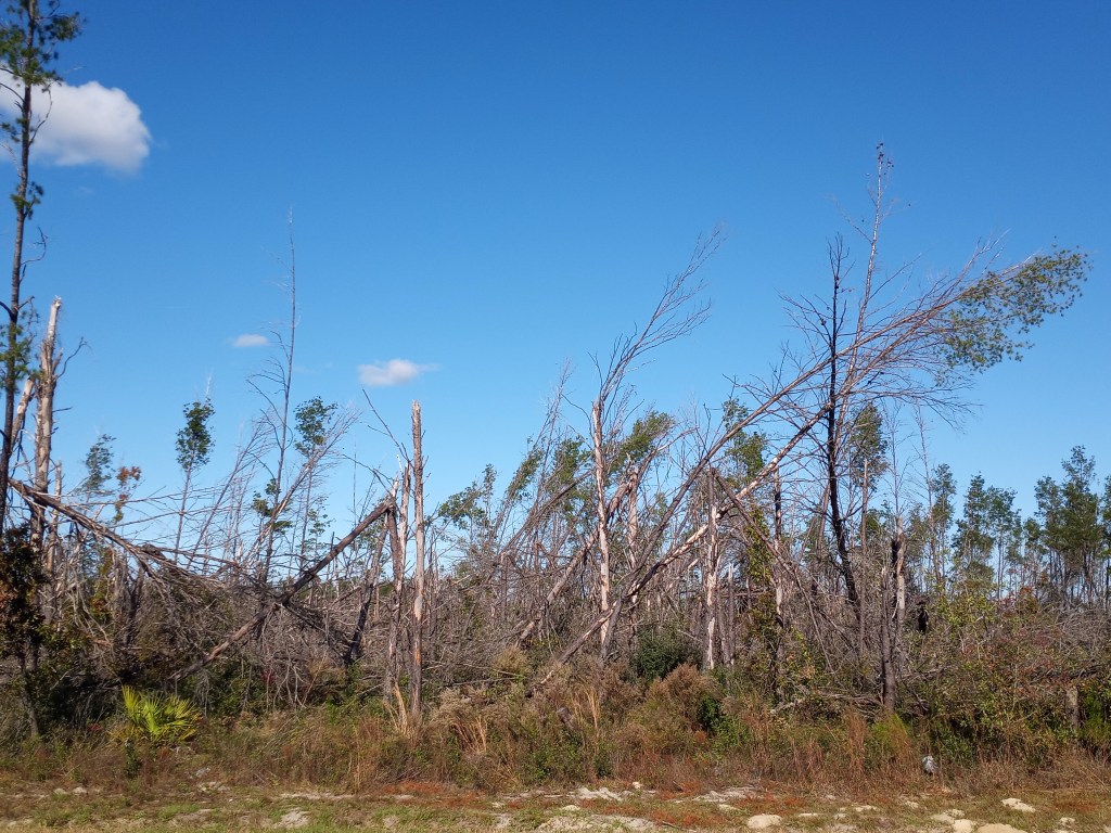
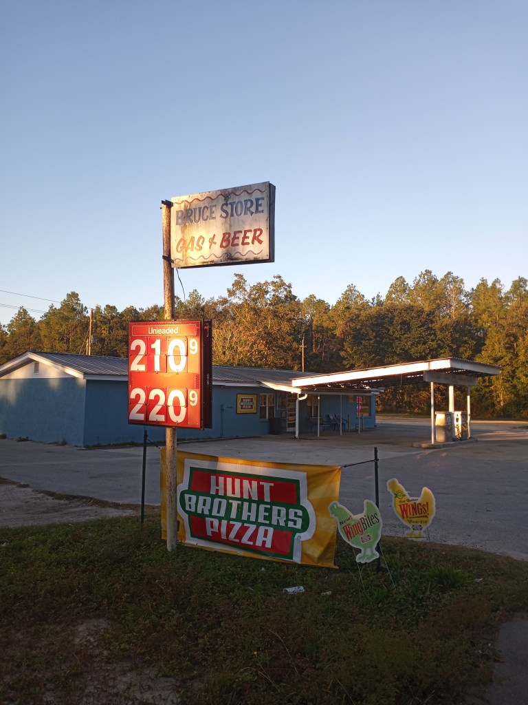
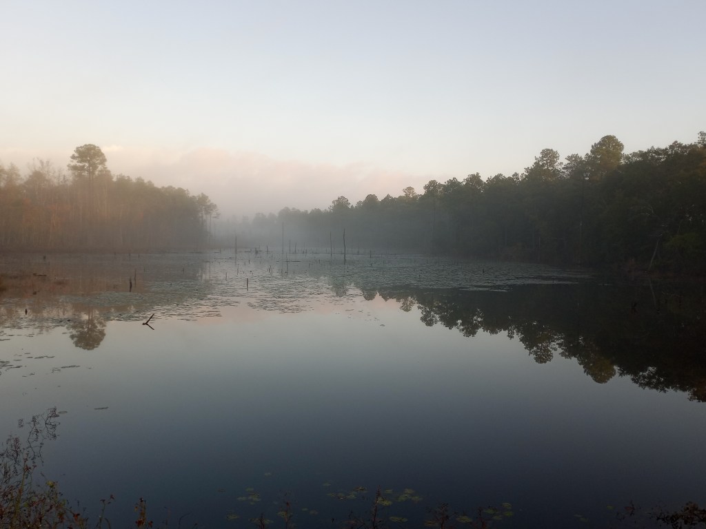
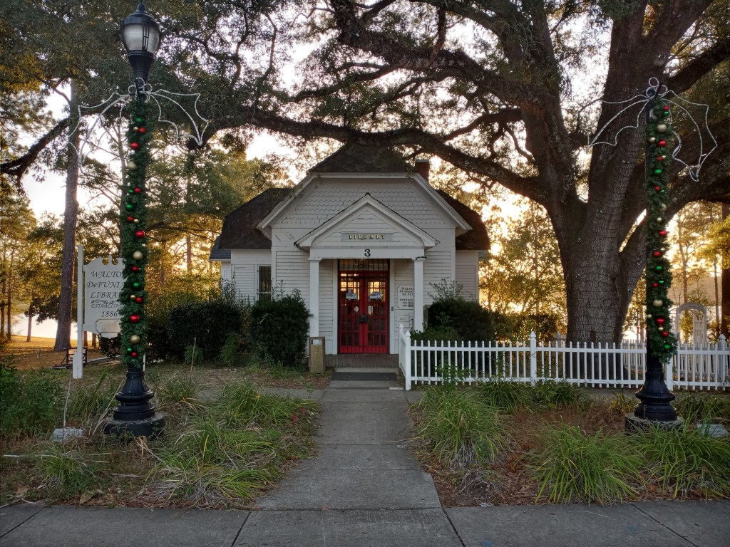
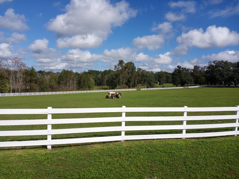
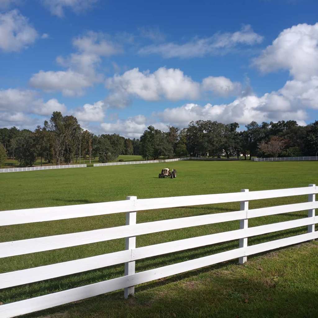
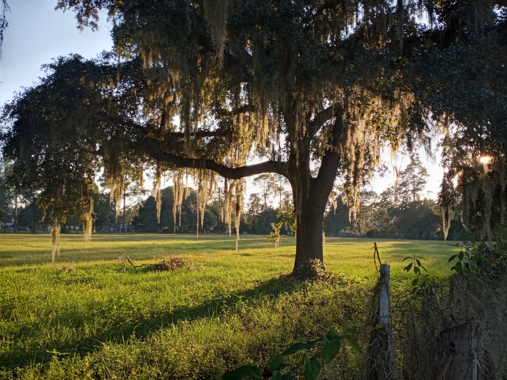
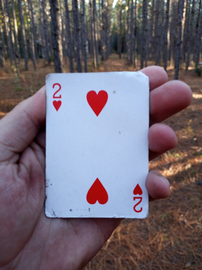
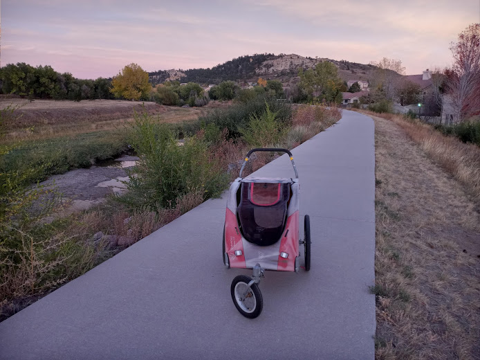
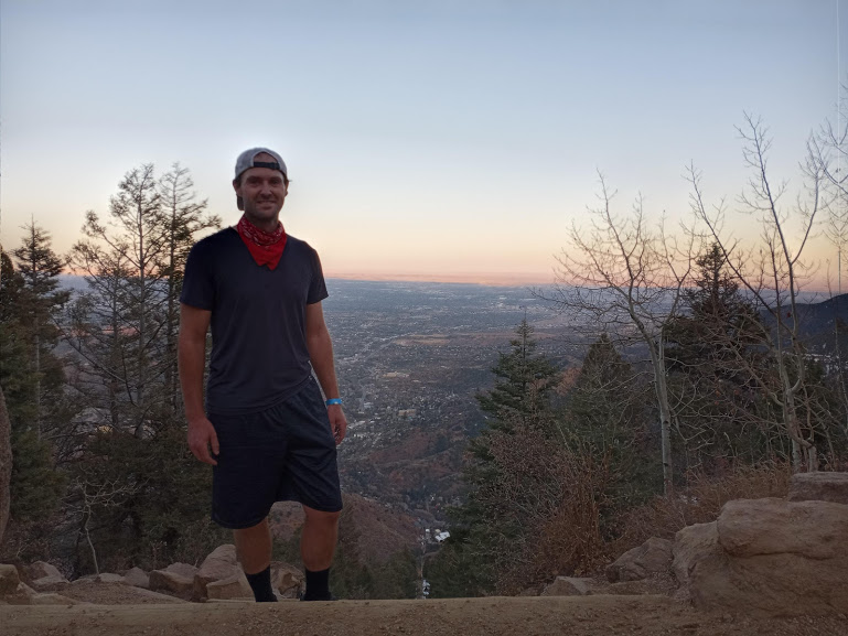
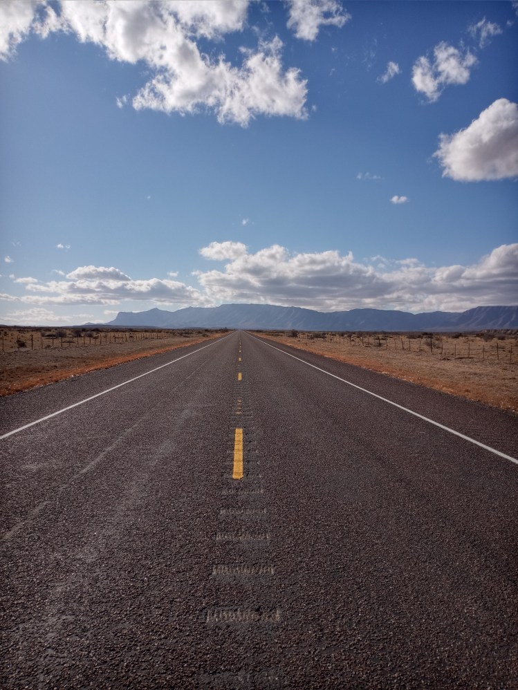
Favorite Three Pictures
Trip Recap
Days – 82
Miles – 1,825
Jars of Peanut Butter – 65
Miles Per Shower, NM – 61
Miles Per Shower, TX – 66.5
Roadside Change – $5.28
From my LA Quinta room in El Paso I have another 14 miles to walk through Texas before I arrive back in New Mexico. That will bring my mileage total in Texas to 802!
Once I’m back in New Mexico, I will be following Highway 9 through the southern portion of the state before hitting Highway 80 and walking to Douglas, Arizona! Sierra Vista, AZ is my next big stop – 250 miles or so west. Until next time!
Walk on!
-Ben