Every morning when I went into the cafeteria to have breakfast before my 4 AM shift, the same 20-year old was working. His greeting to every person that walked through the door was the same.
“Good morning! It’s a beautiful day to be alive!” He must have said that a hundred times every day.
During my first few weeks in Naknek, I didn’t exactly appreciate his enthusiasm and optimism. After all, I was exhausted, cold, sore, and had 16 hours of “fish-filled-fun” ahead of me. Was it really a good morning and a beautiful day to be alive? Seemed like a stretch.
That was my reaction to him when I was focused on merely surviving as a salmon processor. Then I realized, thanks to infuriating techno music and a period of meditation in a bathroom stall (see Part II for the rest of the story), that surviving this challenge and making some money was not enough.
I wanted to make the most of my time in Naknek and experience some peace and contentment along the way, which was hard given the long work days, the physical and mental challenges on the assembly line, and a lack of free time (amongst plenty of other obstacles). I reasoned that the best way to accomplish that goal was by enjoying as many moments as I could along the way. If I took action and made concerted efforts throughout the day – every day – to create, recognize, and enjoy those moments, I was hopeful my experience would improve.
It made sense to start small. Although the majority of my schedule was dictated by Leader Creek, I had the power to squeeze as much enjoyment and peace out of every ounce of “Ben time” at my fingertips. My 47-minute morning routine was where it began. Instead of thinking about the arduous day ahead after I woke up, I did my best to focus on what I was doing in the moment, no matter how trivial it seemed.
I reveled in the peace and quiet of the dorms in that early morning hour. I slowly sipped my lukewarm coffee that had been cooling in my thermos overnight. I inhaled the clean scent of a freshly washed hoodie as I stretched it over my head. I listened to the crunching of rocks under my brown rubber boots as I walked the 100 yards between the dorm and the mess hall.
After the cafeteria worker’s overly enthusiastic greeting, I sat down with my oatmeal in a quiet corner of the mess hall and said a simple prayer of thanks. I got into the habit of praying before every meal, which guaranteed a minute of peace and spiritual connection three times a day.
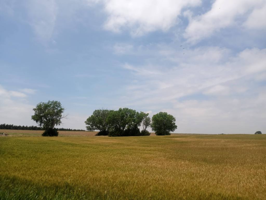
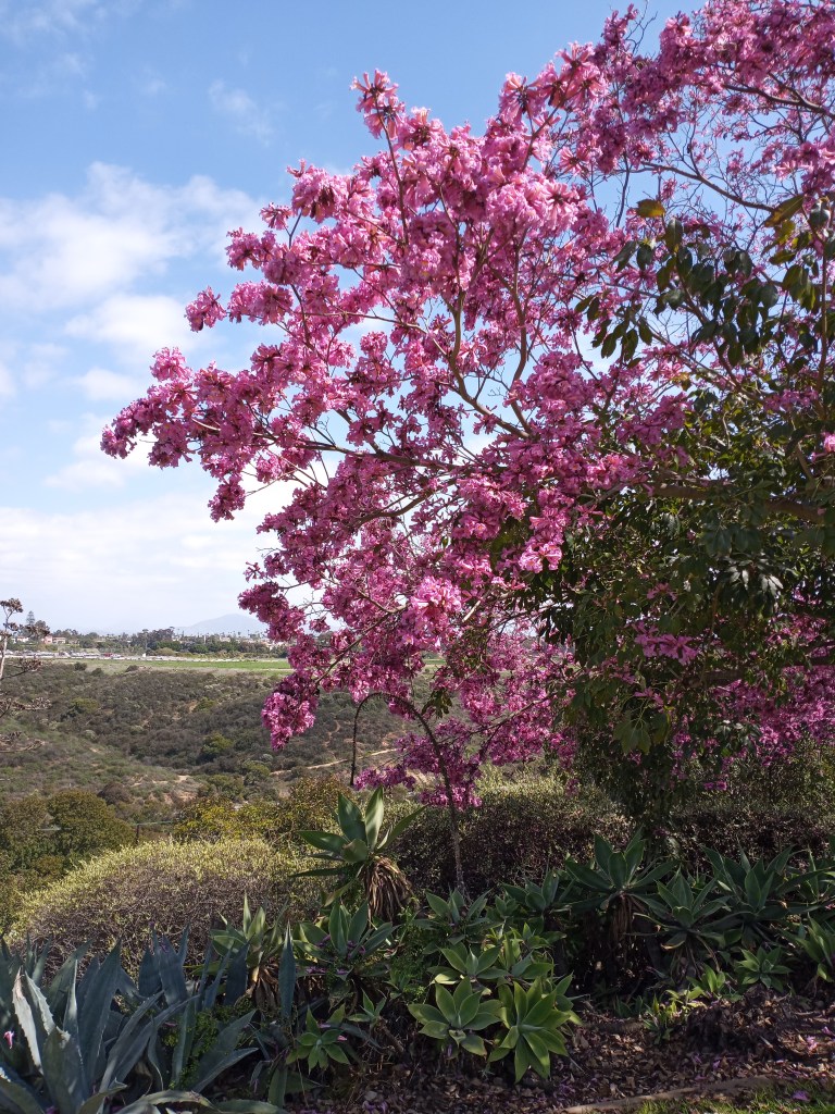
There were other opportunities throughout the day to create peace and live in the moment, too. During break times, I would sit at a picnic table outside the mess hall, drink a cup of coffee, and observe my surroundings. I felt at peace when I looked at the purple and yellow Johnny Jumpups in the small gardens next to the patio, stared at the clouds overhead, or listened to happy, chirping birds.
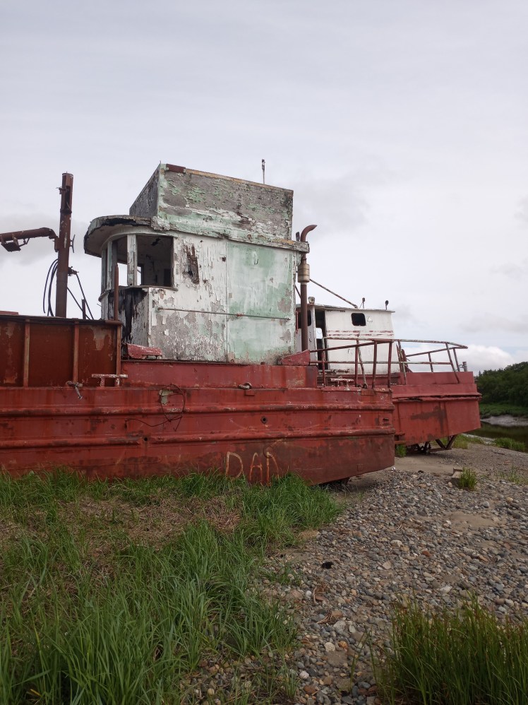
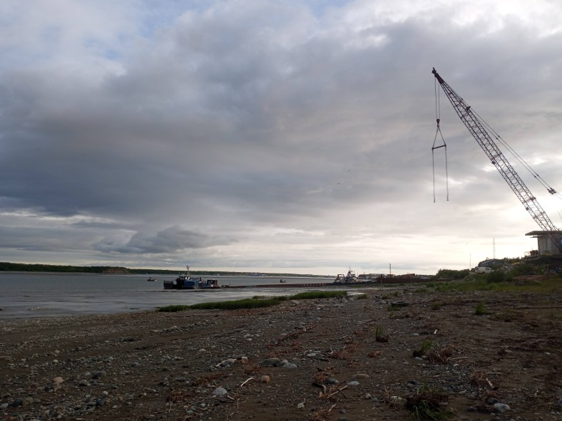
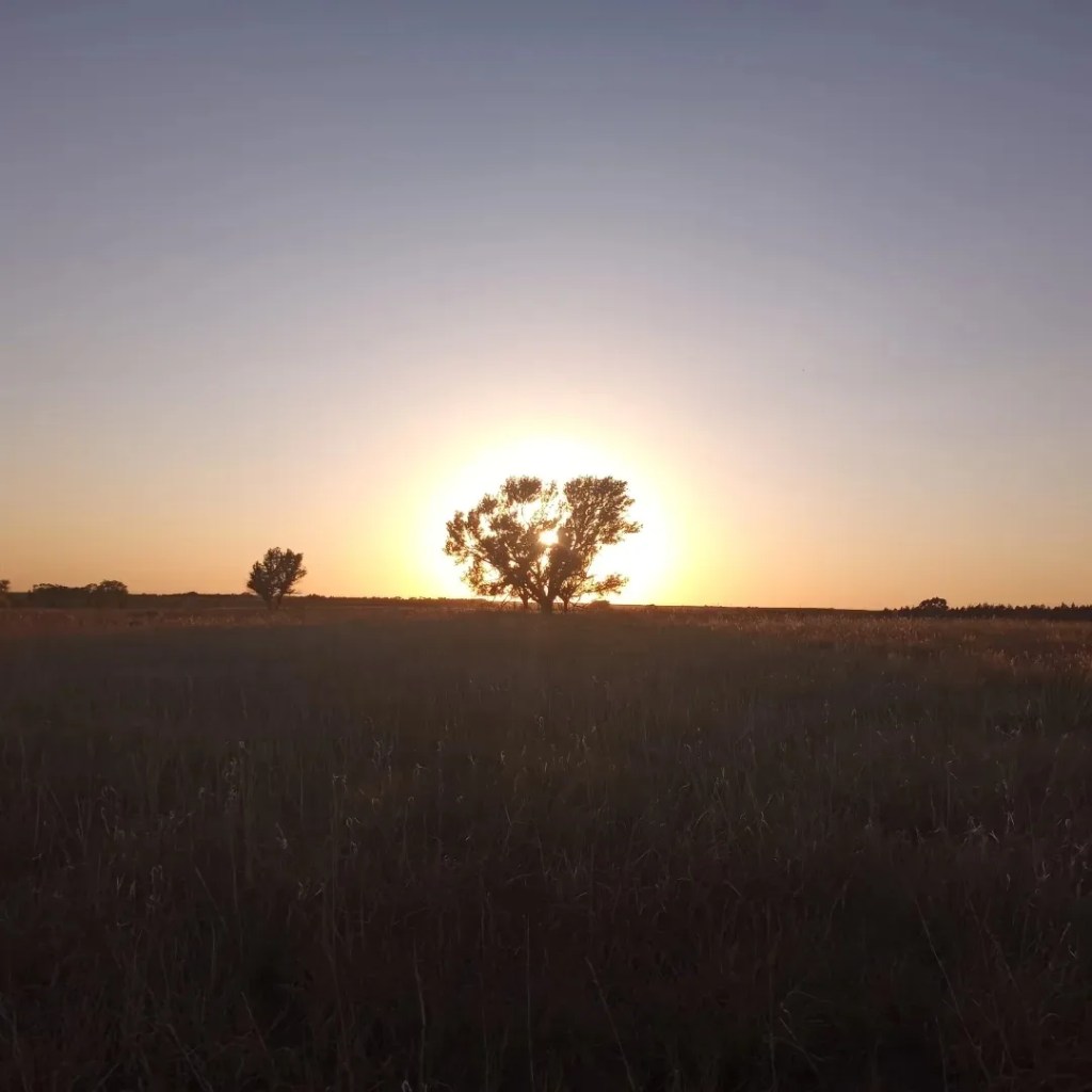
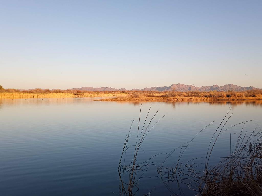
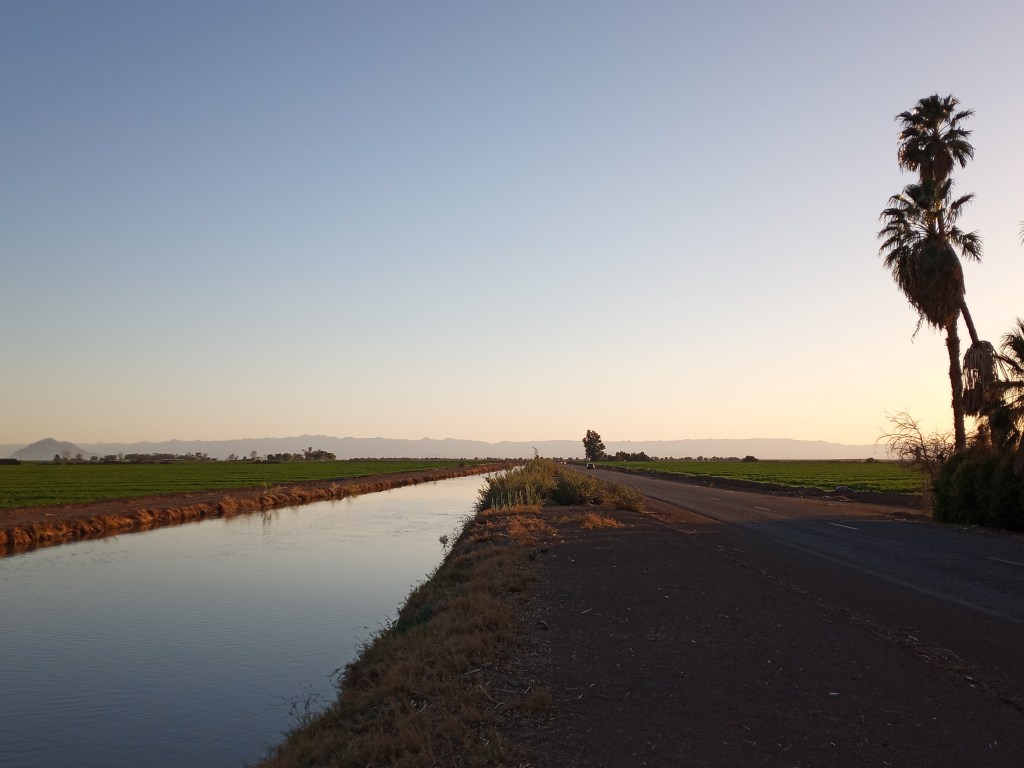
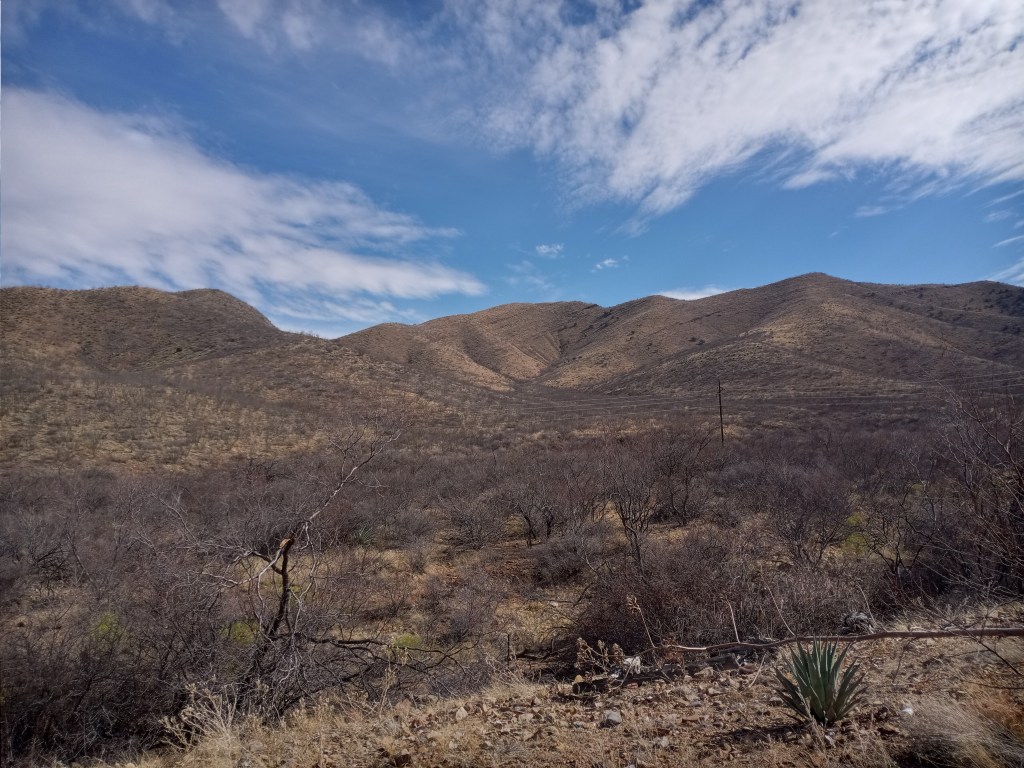
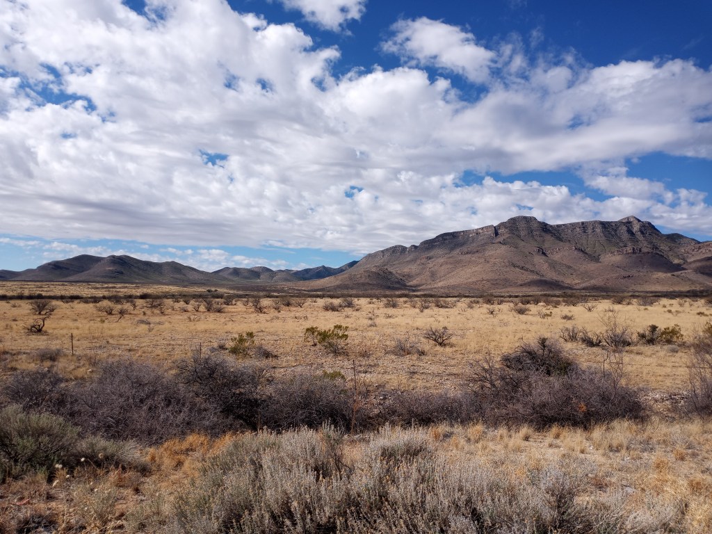
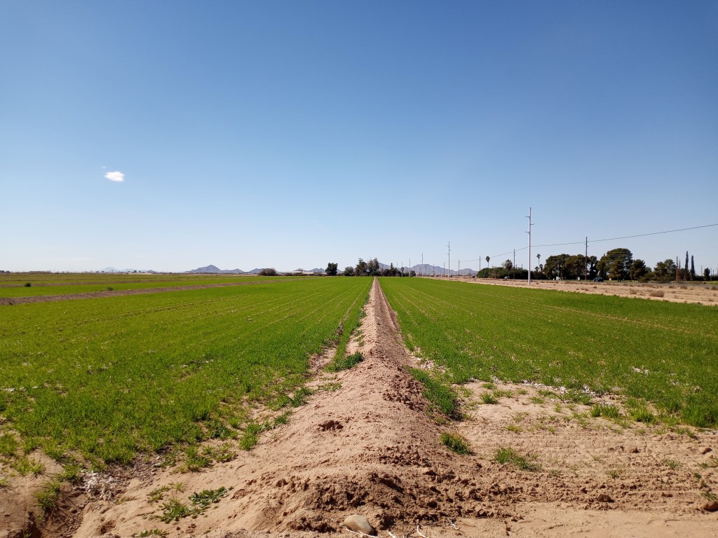
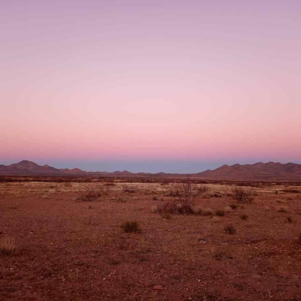
At the conclusion of every shift, despite the weather or my exhaustion, I walked to my meditation spot next to the river. Some evenings I’d sit and watch the water flow towards the ocean. Other nights, I would walk along the shore and pick up rocks. I found that one of my hair nets made for a great rock hauler, though I discovered it maxed out at about five pounds.
After the 15 minute stroll, I ate a quick dinner and returned to my dorm for a shower. After laying out my clothes for the next morning, I reclined in bed, put on my headphones, and turned on a meditation mix for a few more minutes of relaxation before falling asleep. Five hours later, my alarm sounded, and a new day began.
Even if the day went to hell in a handbasket (which it did numerous times), I knew my morning and evening routines, mealtime prayers, quiet time on breaks, and a meditation/rock hounding walk would provide an impressive number of peaceful moments given the circumstances.
After a few days of embracing this new mindset and taking some action, a peculiar thing happened. I began viewing things in a different light. My eyes slowly opened and I began taking note of some of the beautiful things happening all around me.
I began to look forward to that enthusiastic morning greeting in the cafeteria. I recognized Leader Creek’s unofficial greeter was trying to create some positivity (for himself and others) by bringing his sunny disposition to dreary Naknek. His welcome eventually lifted me up and put a smile on my face. His positivity gave me something to aspire to.
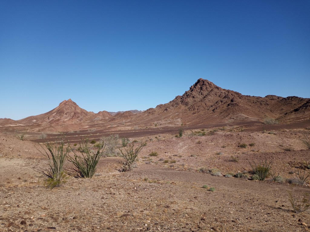
One of my favorite moments at Leader Creek came 10 days into peak season. Naknek in late June and early July felt little like summer. Highs were in the 50s, the wind howled, rain was common, and seeing the sun was rare. If the sun did make an appearance, it was typically for minutes.
In usual Naknek fashion, it was an overcast, showery day. It poured rain on the walk into work and during first break. At lunch, the rain let up, but clouds stuck around. When we were released for our afternoon break, glorious blue skies and sunshine were waiting. For the first time since I had been in Naknek (a little over two weeks), there wasn’t a cloud in sight.
Everyone was shocked as we emerged from the damp plant and shielded our eyes. It was as if the world had been turned upside down. A dozen of us stood outside the main door to the plant, looked to the heavens, and allowed the sun to warm our faces. Those who had their faces angled towards the sky were motionless and smiled from ear to ear. After the 15-minute shot of Vitamin D, the atmosphere in the plant was brighter, lighter, and happier afterwards. If I was entirely wrapped up in my own personal struggles, I wouldn’t have noticed or appreciated the beauty to be found in that communal sunbath.
Outside of work, I had a promising routine down pat and was experiencing plenty of peace. But I still spent 16 hours of my day processing salmon. It took longer than it should have, but I eventually embraced the simple fact that I wasn’t alone in the struggle. Every one of my coworkers that saw the season through – about 75 percent – battled the same fatigue, machine noise, health ailments, and music. Though it’s worth noting some of them enjoyed the techno. Everyone worked 16-hour days, including shift leads, the security team, cafeteria workers, and the HR bosses.
Instead of taking work too seriously and feeling like I needed to conquer Alaska alone, I made a choice to embrace the comradery. It led to some great friendships and plenty of enjoyment. We created memorable moments on the assembly line playing the ABC game or betting on how long it took someone to go to the bathroom. We talked about where we wanted to travel after the season, which was almost always somewhere warm. We had sing-a-longs to Kelly Clarkson’s Since You’ve Been Gone, Tom Petty’s Free Fallin’, and Blink 182’s All the Small Things. I joked with other bald coworkers about how ridiculous it was that we needed to wear hair nets given our lack of hair.
Some conversations turned serious and heartfelt. One of my roommates and I had an impactful discussion about spirituality as we filleted salmon. Others opened up about struggles from their past – myself included – and what led us to this ridiculous job in Alaska. We talked about how we were coping with the lack of sleep, time away from loved ones, and the lengthy stretch of cold work days.
“We’re almost there” was a common pick-me-up when we walked into the plant for the last quarter of the shift. There were plenty of “Atta boys” at the conclusion of another long day as we exited the plant with sagging shoulders and distant, blank stares.
Without an amazing group of coworkers and roommates, the season may have gone much differently. I was immersed in my own personal struggle, but when I finally embraced I wasn’t going through it alone, I had the opportunity to share all the ups and downs of the experience with others. We developed an unmatched level of comradery and understanding as a result. Knowing we weren’t going through it alone helped everyone to keep going. Finding some joy and sharing a few laughs along the way always helped.
By July 17th, the salmon were still coming in, but at a much slower rate. We still worked 16-hour days, but the processing pace slowed down considerably. The end of the season was in sight.
On July 21st, my name was on a flight manifest for the 22nd. I was going home. In a moment, my time at Salmon Boot Camp seemed to come to an end. I had only been in Naknek for 35 days. It felt like the blink of an eye and a lifetime all at once. Tony had been right. It had been the “Longest, shortest, five weeks of my life.” 26 straight days of work since the beginning of peak season concluded with an eight-hour shift.
After that final shift as a processor, I had the rest of the day off to pack, sleep, and prepare for the journey home. After a well-deserved nap, I divvied up 30 pounds of rocks into three bags and gathered the rest of my things. I placed my favorite Alaskan calming stone in my pocket and went to dinner to say goodbye to some new friends.
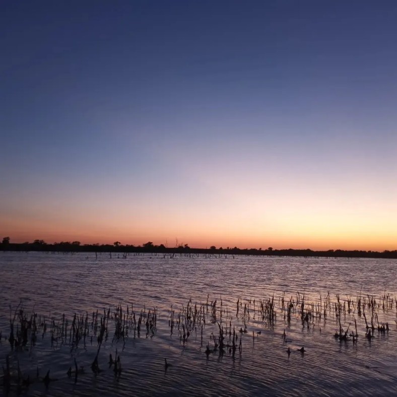
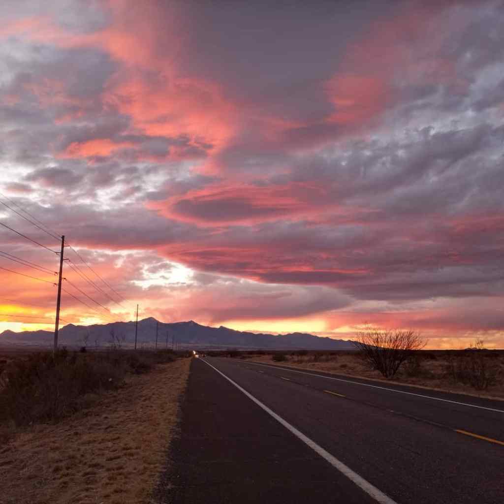
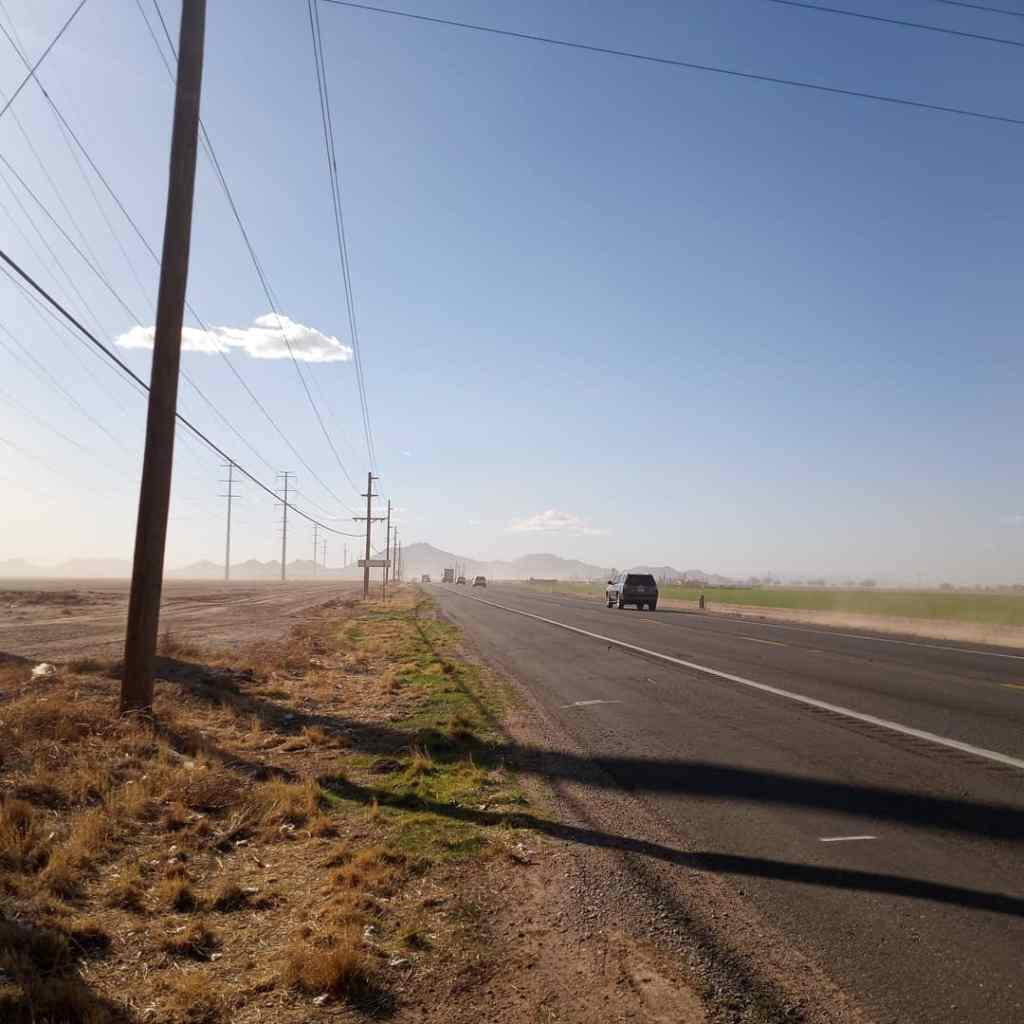
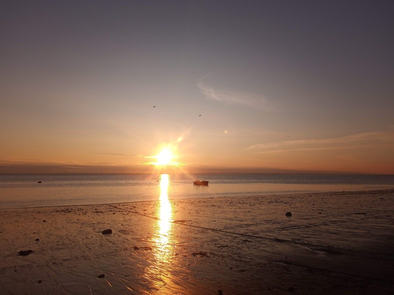
That evening, Naknek gave me an incredible parting gift – sunny skies. It seemed like a waste to miss out on the rare, clear night, so I took a 12-mile walk down to the Bering Sea. I wandered the coastline for an hour and patiently waited for the only sunset I witnessed in those 35 days.
I reflected on my time in Alaska, revisiting the highs, lows, and all the powerful moments in between.
Embracing powerful moments didn’t make the challenges magically disappear. I still felt tired, frustrated, sore, and cold. There was a steady flow of anxiety that went hand-in-hand with the never-ending stream of salmon. I exposed myself to a new world filled with unfamiliar obstacles. Seldom was it easy.
Thankfully, I did much more than survive with ten fingers and a few more bucks in my pocket. I experienced levels of joy, contentment, and peace that I didn’t think were possible given the circumstances. I didn’t feel that way every second of every day, but was that even possible?
Alaska taught me that no matter what kind of struggle I face – whether it’s a self-imposed challenge like Leader Creek, or I’m in the middle of dealing with one of life’s curveballs – joy, contentment, and peace can be experienced. They can come from small moments I create. They can be found in my surroundings if I take the time to look. Or they can be shared with those around me who are also a part of the journey. The caveat is I always have to take some action to experience them.
The beauty of this adventure required some effort to experience. I had to look past the challenges and needed to silence the nagging doubts in my head about whether I was up to the task. I had to put in the work to find some peace inside of me and open up my eyes to witness the unforgettable moments that were present all around me. Moments were my guiding light in Alaska. Embracing the struggle simply gave them more purpose and meaning. And in turn, those powerful moments made the challenges worthwhile.
The fact that I can always find moments of joy, contentment, and peace, regardless of what obstacles life throws my way, is a comforting thought.
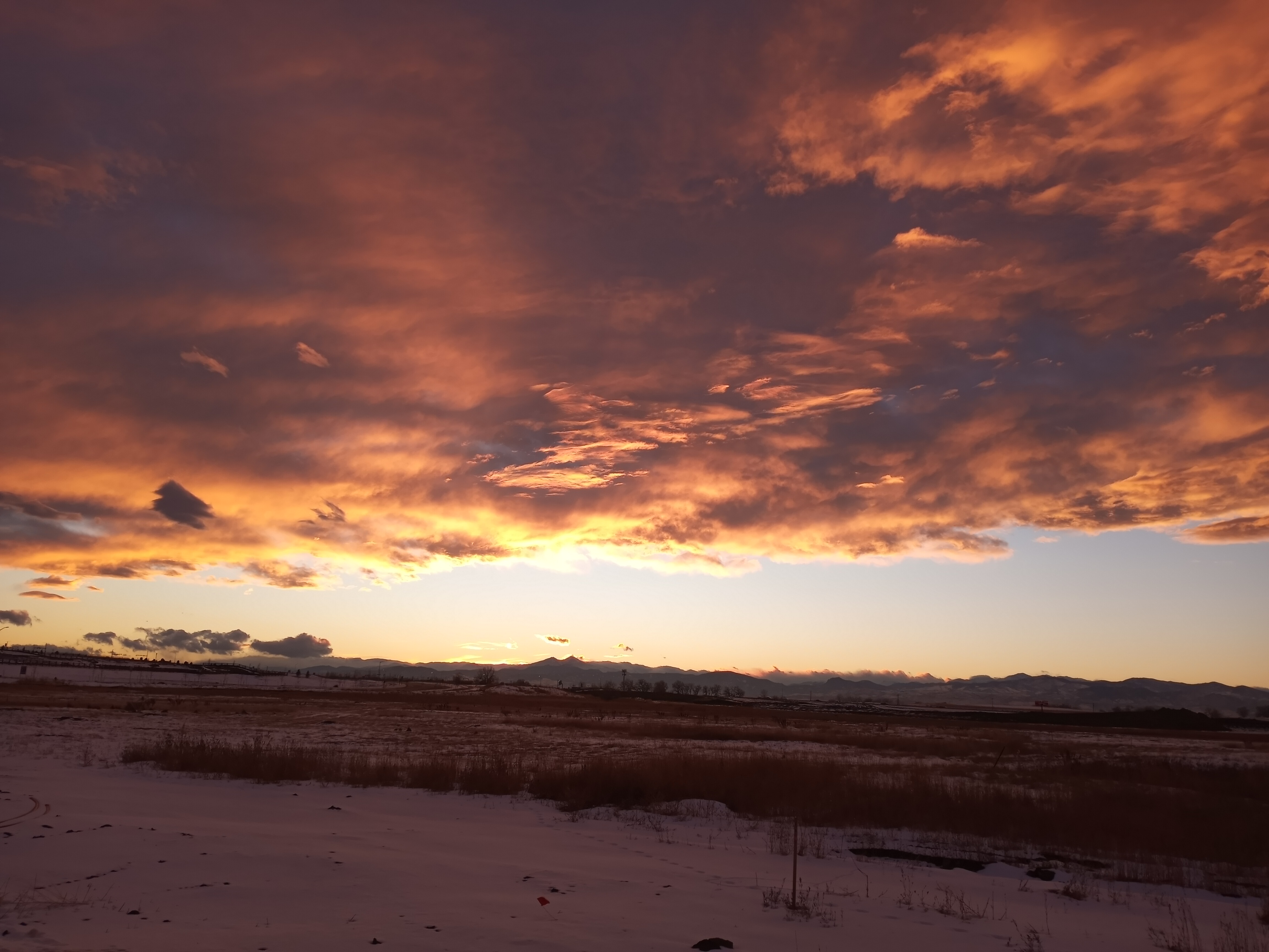
As the sun dipped lower on the horizon, its reflection bounced off the sea and the moist mud flats in the foreground. A fitting salmon sunset with shades of pink, orange, and yellow stretched clear across the sky.
For a minute, my focus shifted to life back home. Would I have enough landscaping work to carry me through the fall? Would my car start after sitting in the driveway for five weeks? Were my plants still alive? What was my life going to look like this winter? I pushed those thoughts aside and reminded myself that none of that was relevant right now.
All that mattered was that breathtaking salmon sunset that God was painting right before my eyes. I rubbed the smooth black rock in my pocket, brought myself back to the present, and let one more powerful Alaskan moment take me away.
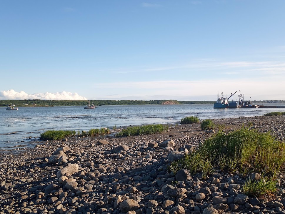
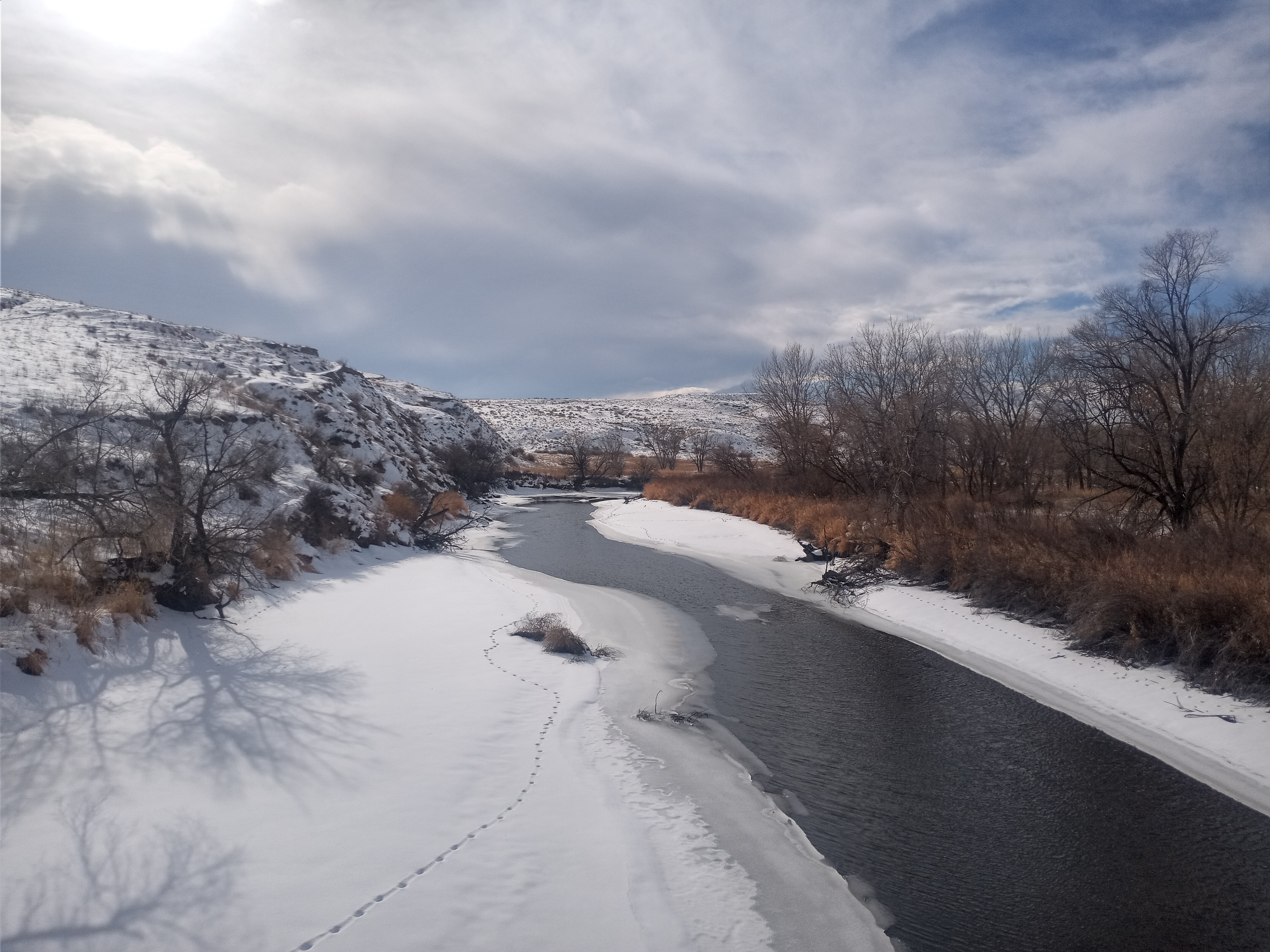
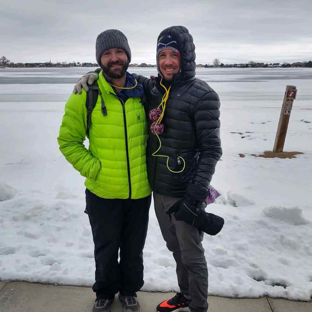
A rare sunny evening at my meditation spot along the Naknek River.
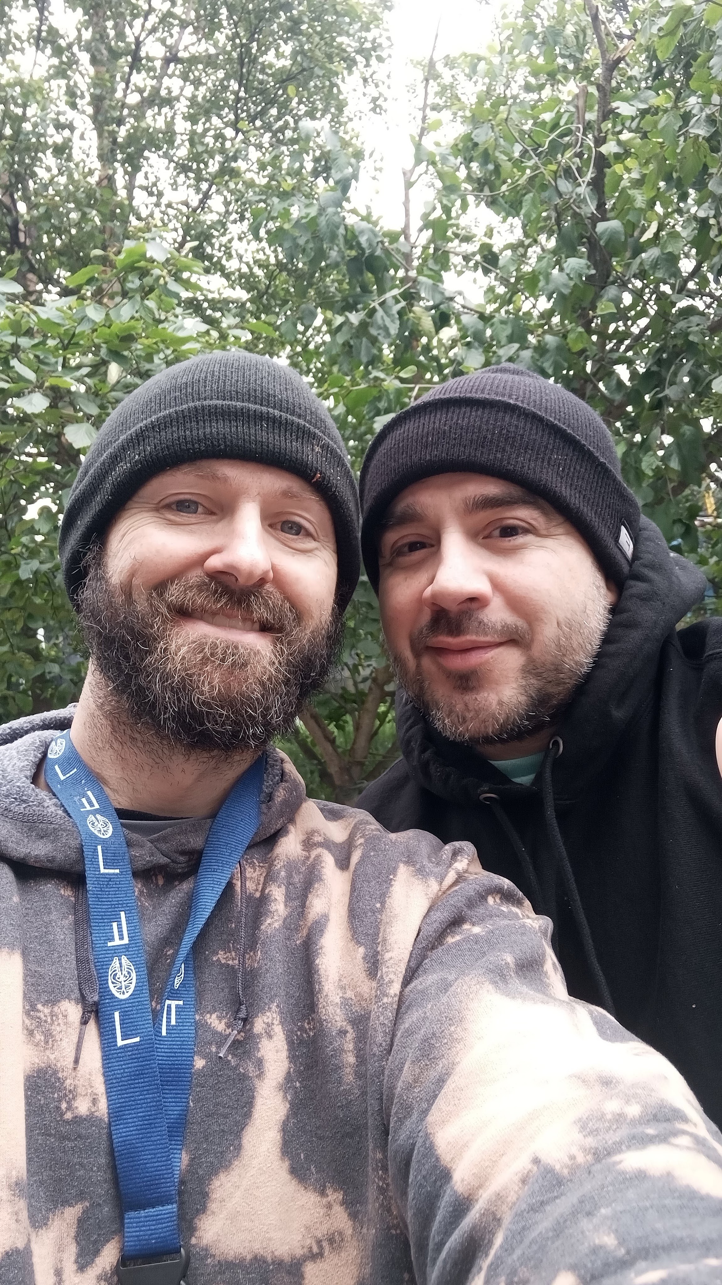
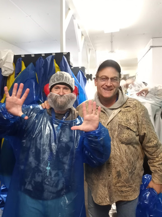
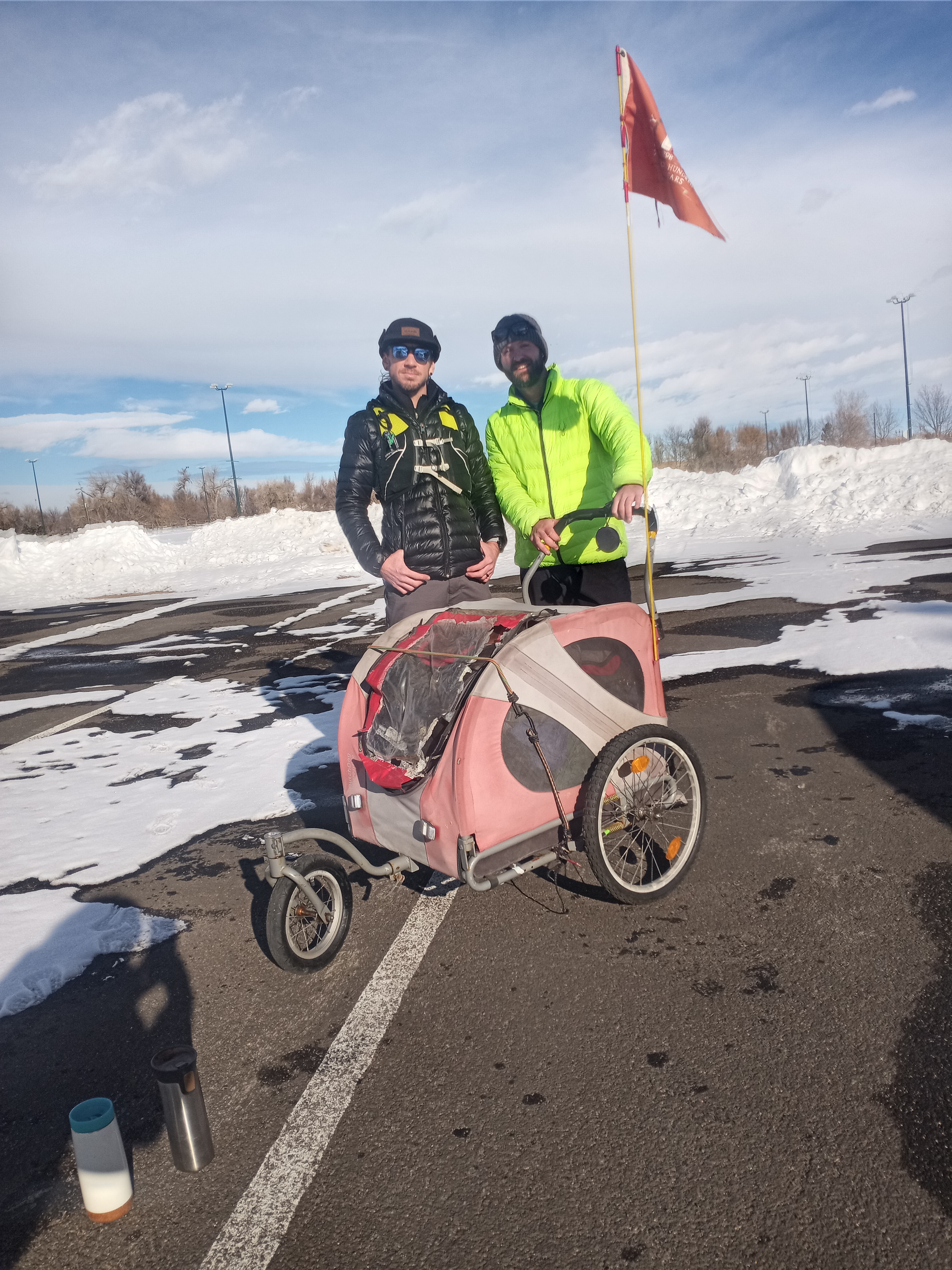
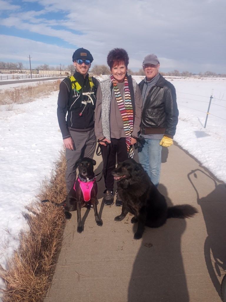
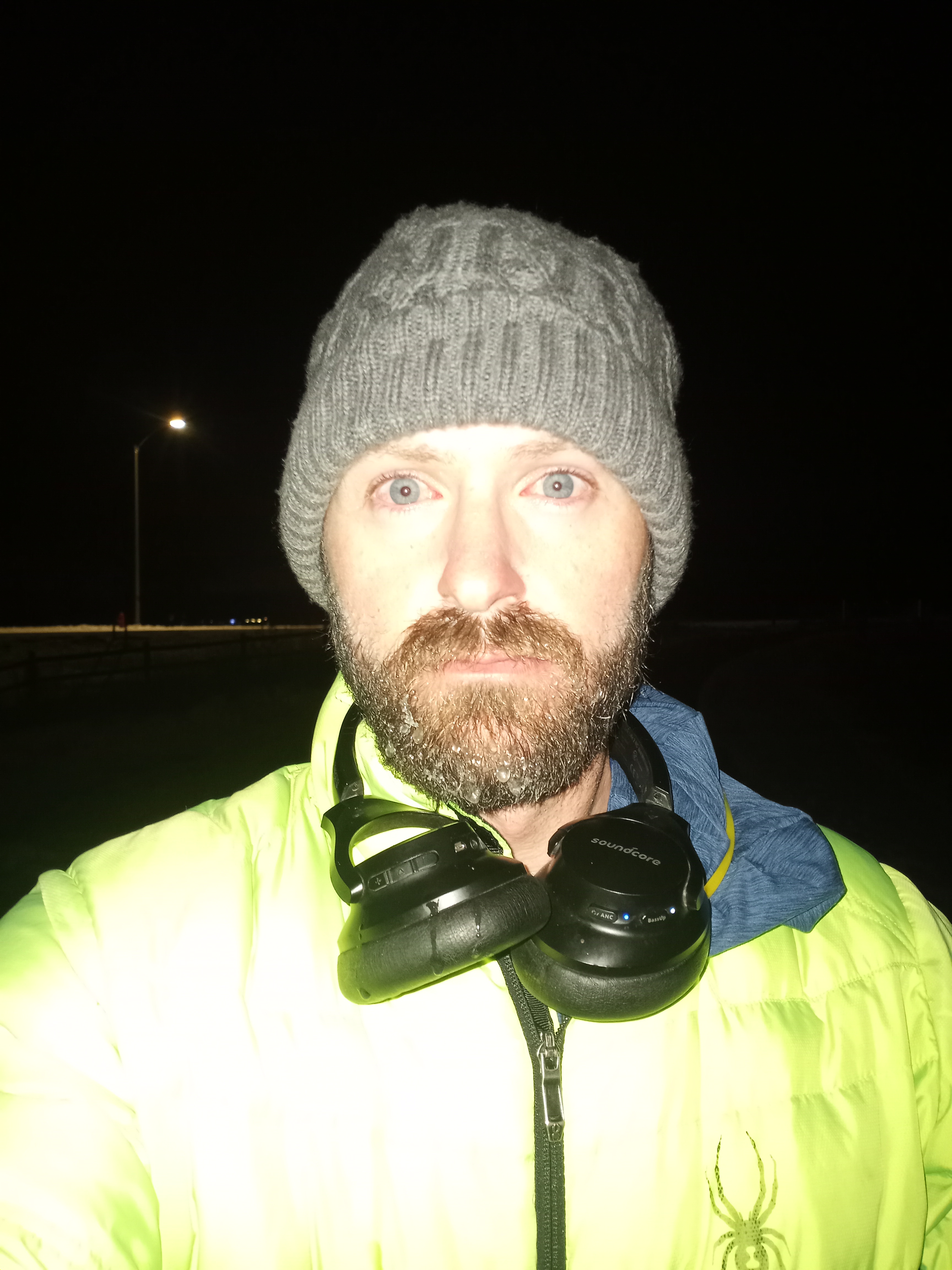
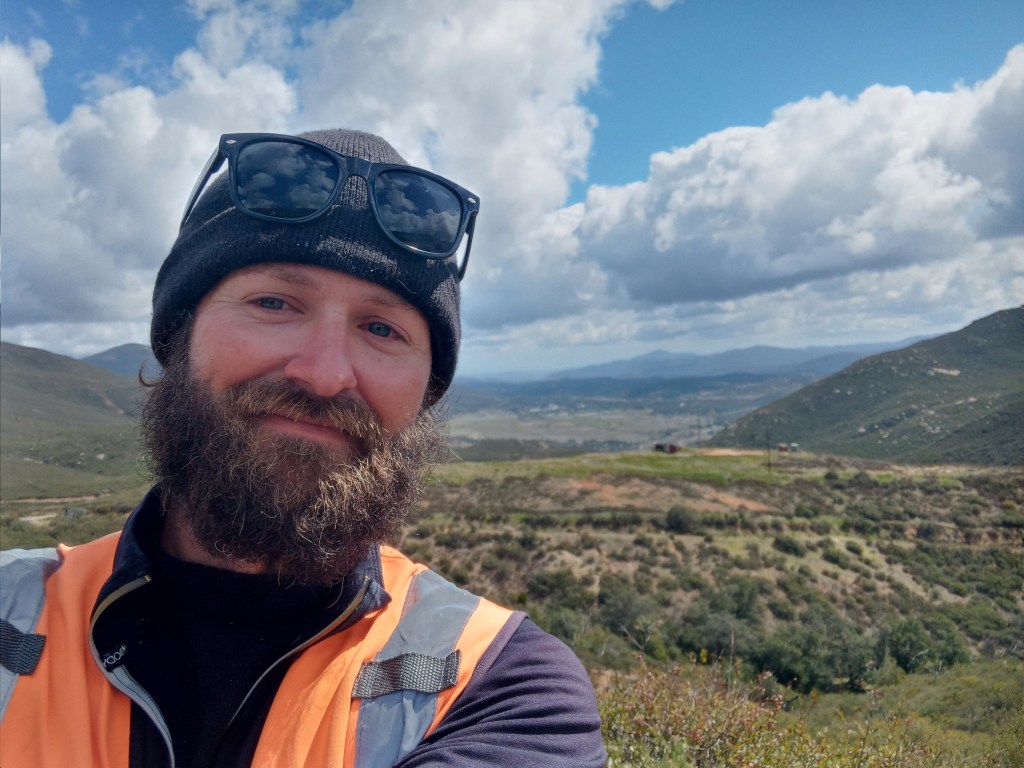
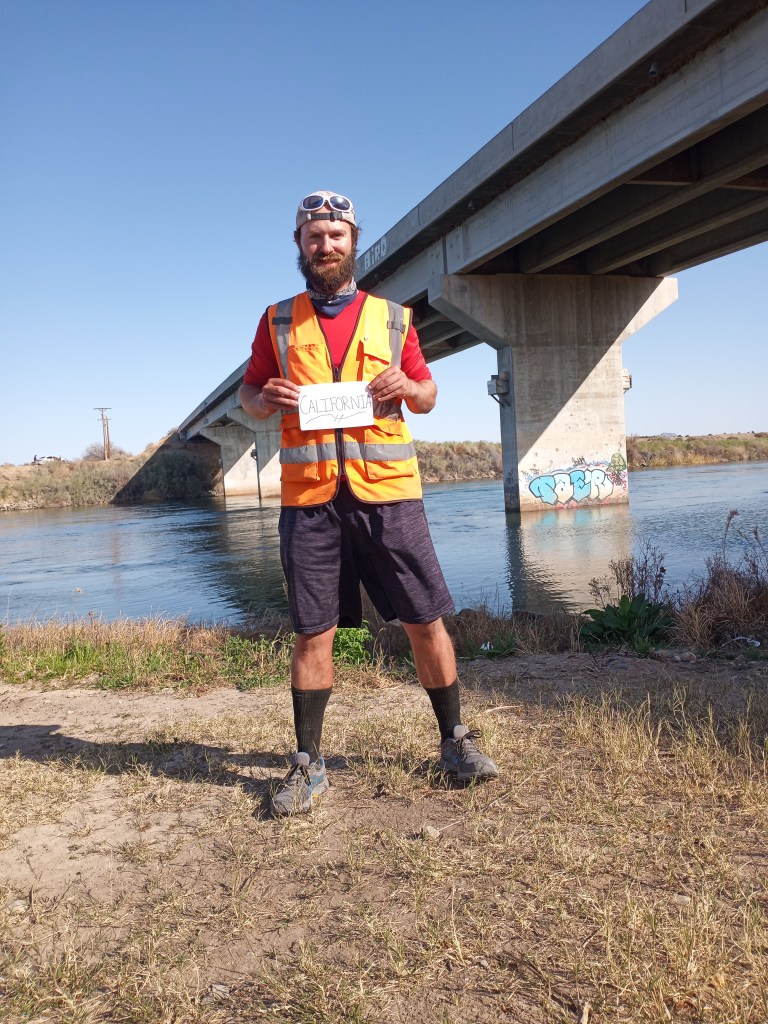
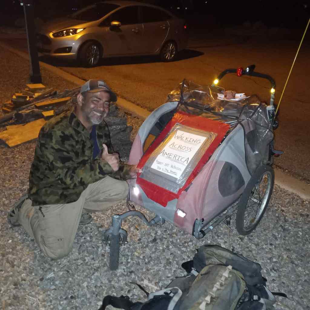
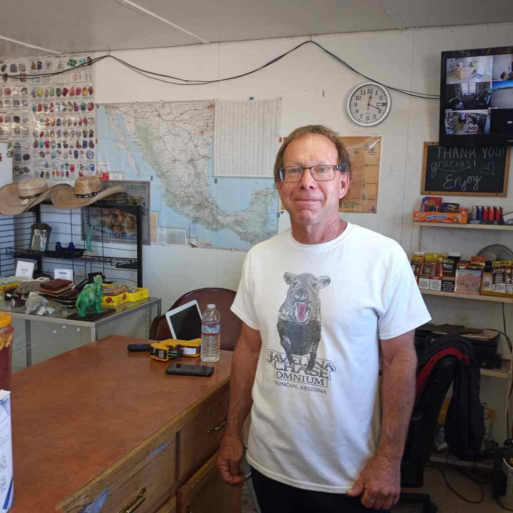
Roommate and great friend Nick after my last shift.

A fitting salmon sunset over the Bering Sea on my final night in Naknek.
***A heartfelt thank you to my parents, siblings, friends, and all my brothers and sisters in recovery that continue to support my off-the-wall endeavors. I couldn’t live the life I live without every one of you.
***To Leader Creek Fisheries – Thank you for doing everything within your power to make this challenging employment adventure a success. The food was phenomenal, the water in the shower was always hot, and the HR staff/department leads treated me with respect, grace, and an astounding amount of empathy.
***To my coworkers – We did it!!! Thank you all for sharing so many incredible moments along the way.
And to everyone who took the time to read this series, thank you for joining me on the journey.
Ben