
From Blythe, CA, I found myself less than 250 miles from the Pacific Ocean in San Diego. When I left my Motel 6 room, I reminded myself “250 miles is 250 miles. That’s still a long way to walk.” There have been plenty of challenges during the last nine days and 220 miles of walking!
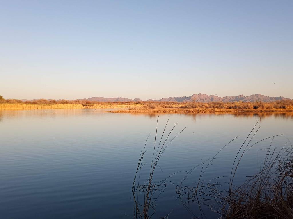
The first day out of Blythe, however, was smooth sailing. I had sunny skies, flat terrain, no wind, and large shoulders all day. I followed Highway 78 through agricultural areas and ended the day camping at Palo Verde County Park. The park was on the banks of a man-made lake adjacent to the Colorado River. I camped right on the shoreline. After I sat down for dinner at dusk, a colony of bats appeared to hunt over the water.
My walk the following day was much more challenging. I lost the shoulder on Highway 78 after a few miles in the morning and was left dodging cars for the next 20 miles. To complicate matters, the highway was extremely hilly, so I was constantly moving from one side of the road to the other, always walking where traffic could see me. That meant “sprinting” up hills when I was walking with traffic, and jumping off the road when a car approached. Additionally, I fought a stiff 25 mph head wind for most of the day. Everything was working against PJ and I. I even had to take down his flag. The wind was blowing at the perfect angle and it kept bonking me on the head, which was even more maddening than the wind itself.
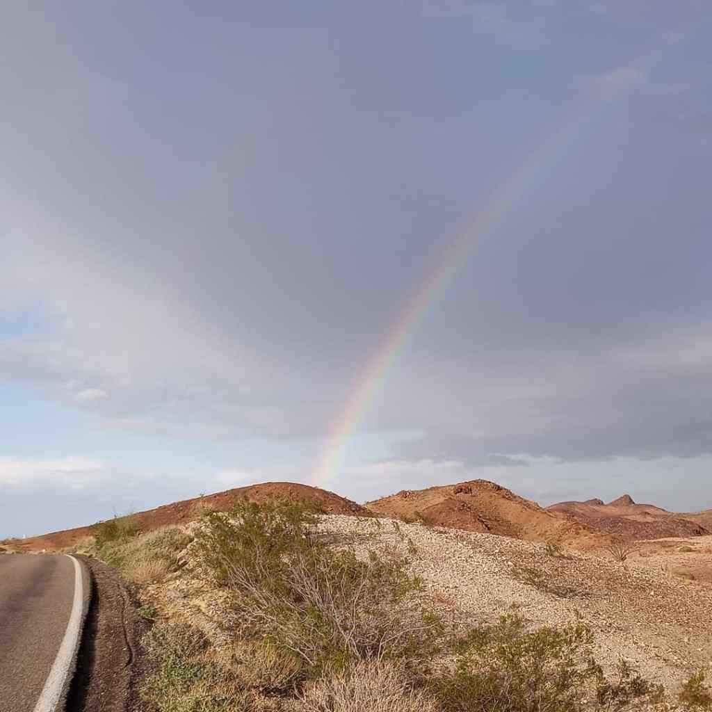
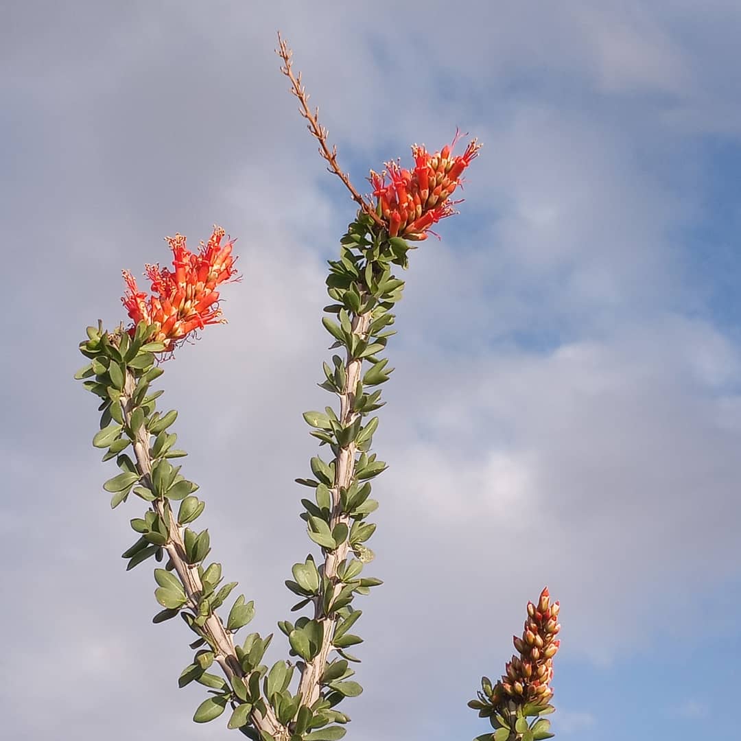
Despite the challenges of the day, it was a beautiful stretch. A light rain shower moved through during the afternoon and I saw the first rainbow of my walk. Ocotillo cacti were blooming. And I found a lovely BLM camping spot after walking a difficult 25 miles. Blessings abound, even on the toughest of days.
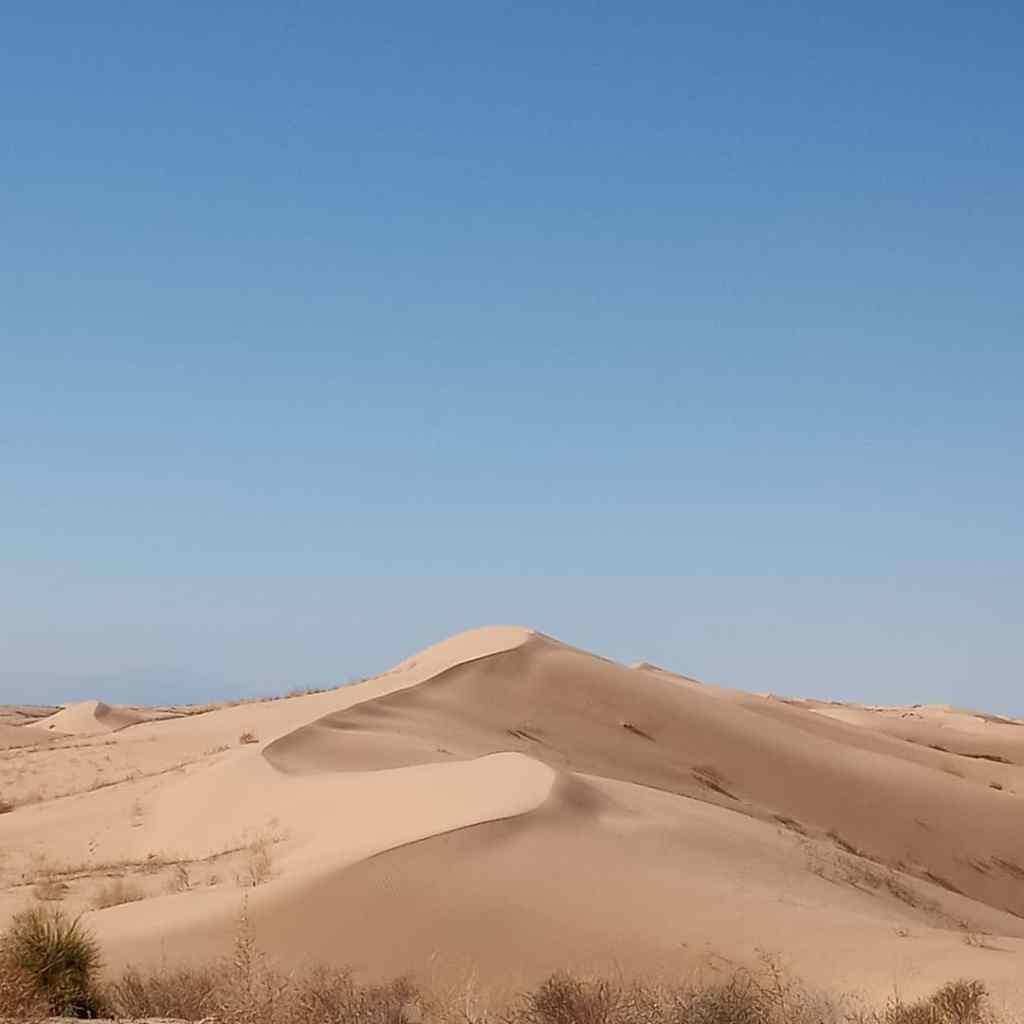
Highway 78 had mercy on me the following day. After three more hilly miles, I hit a wide, nicely paved shoulder and cruised downhill into Glamis (The “Sand Toy Capitol of the World”). The Imperial Dunes National Recreation Area is right on the other side of rown.
The Imperial Dunes were as advertised. Mountains upon mountains of sand stretching far into the distance. Dune buggies (I finally understand why they call them that), ATV’s, and jeeps were busy making tracks in the sand. Watching the amphibious buggies provided some entertainment as I walked through the area.
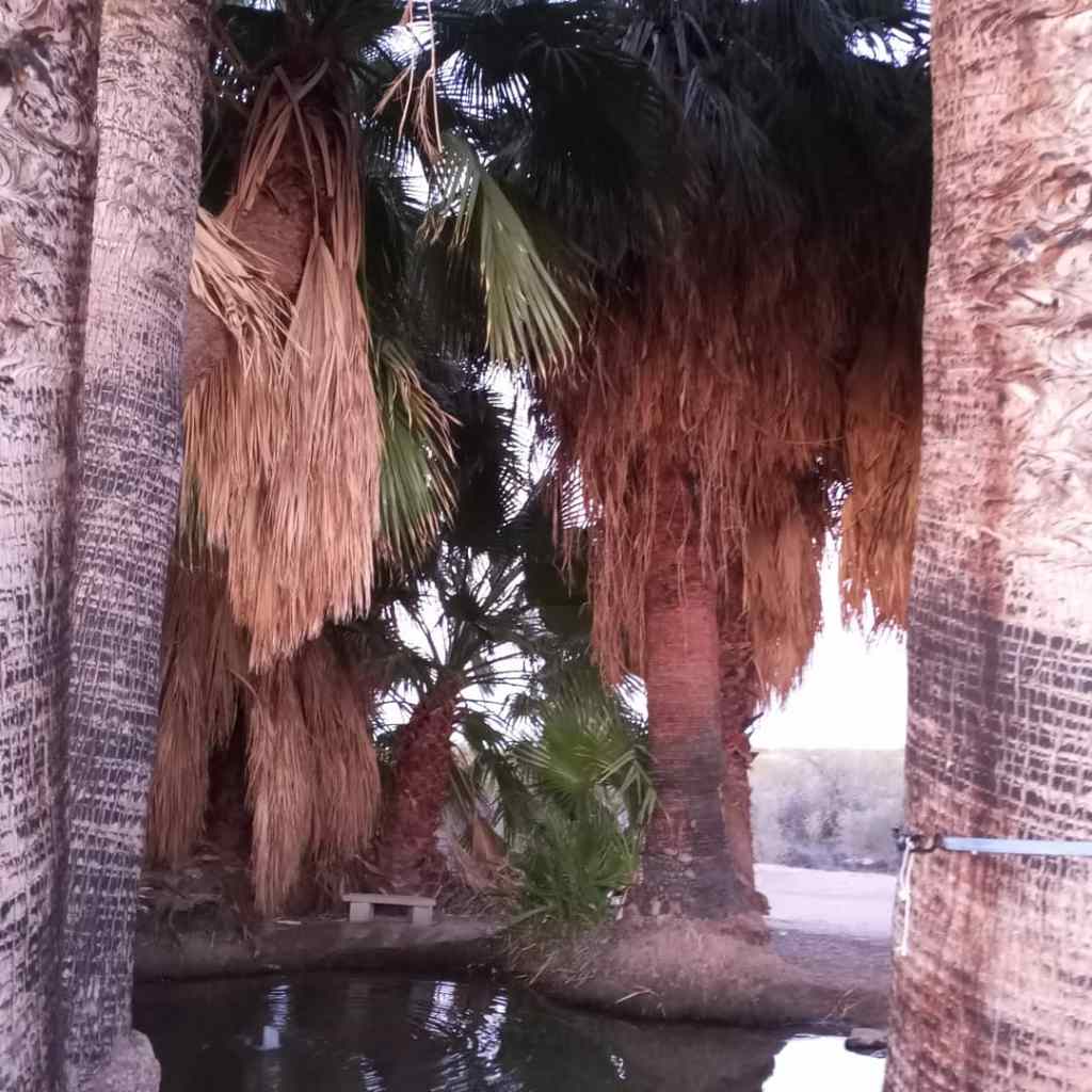
I ended the day camping at a unique spot. I noticed on Google Maps there was a small hot spring about two miles south of the highway on some BLM Land. I happily took the detour to Five Palms Hot Springs. I set up camp about a quarter-mile from the springs and hiked up to the cluster of palm trees through the thick sand. The palm trees jut up from the desert floor, shading the rare pool of warm water. To be fair, the water temperature was more tepid than hot, but it felt great on my achy feet nonetheless. I walked back towards camp well after dark and got turned around. Fortunately, after 20 minutes, my flashlight landed on one of PJ’s reflectors. Home sweet home.
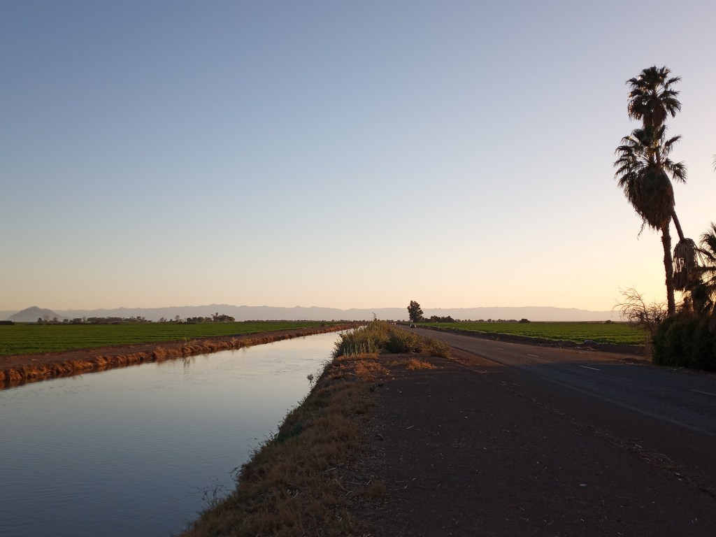
I began the 15 mile walk into Brawley the following morning. I passed a canal after less than a mile on Highway 78 and was back in California Ag Country. There is seemingly a line in the sand for where the natural desert ends and the farmland begins in California. Look at Google satellite images of Southern California and you’ll see what I mean. I was in irrigated farmland for the duration of the day.
I ran several errands once I hit Brawley. I stopped off to do laundry and stocked up on food at Walmart. After parking near the store entrance, I pulled out a half-dozen goat heads from my right tire. It went completely flat within a few seconds. If you’ve never changed a flat tire outside of a Walmart, I highly recommend it. The looks are worth the struggle. I left Brawley a few hours before sunset and walked out of town. I camped on the banks of the New River for the night.
I made my way back out of farming country the next day and returned to the dusty desert. After 17 miles of walking, I hit the Evan Hewes Highway, which runs parallel to Interstate 8. This road, hands downs, was the bumpiest paved road I have EVER walked. The pot holes were so big, I was afraid PJ was going to fall into one and never be heard from again! Thankfully the traffic flow was low, so I played dodge the potholes.
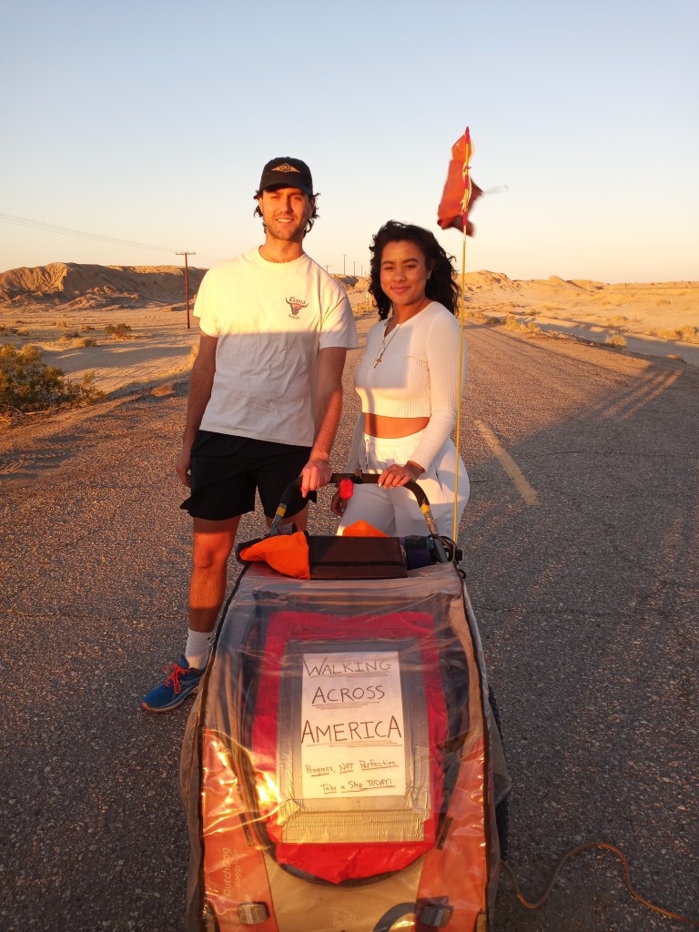
Once I reached Plaster City, I had a few visitors! My cousin Jacob, who moved to LA from Miami right when I began my walk, made the drive down to visit with his girlfriend, Cassie. Jacob walked with me for 6.5 miles on the bumpy road. He was my first “guest walker” of the trip. He even pushed PJ for a few miles. We had some great conversations during our jaunt. Cassie met us at a closed bridge just before dark. As we were chatting, a woman got out of the passenger side of a black SUV.
“I’ve seen you walking like four times today! Earlier you were alone. Where did you pick him up?” She asked jokingly as she pointed to Jacob. We laughed and I explained what I was doing.
She went on to explain that the bridge we were hanging out on has been closed for four years. Locals have made their own road in the sand that bypasses the bridge. She went on the recommend we stop by the Lazy Lizard Lounge down the road for a drink. Based off her slurred speech, it sounded like she just hopped off one of their barstools.
Based off the fact that the bridge has been closed for four years, and given the decrepit nature of the highway, it seems California is happy to let this section of highway continue to degrade!
The wind really picked up during the afternoon while I was walking with Jacob, so I decided to camp in a relatively sheltered spot between the closed bridge and a small cluster of trees.
Mountains awaited the following morning. Before I dealt with them though, I had another pressing matter to attend to – my feet. Thanks to a few tough days of bumpy roads and running up hills, I acquired three fresh blisters. On my walk up to that point, I only had two blisters. Both of those were during my first week of the walk. I covered the blisters with moleskin after waking up, packed up camp, and started walking. Due to the location of the blisters (one was on the side my big toe, the other two were underneath my toes) the moleskin wouldn’t stay put.
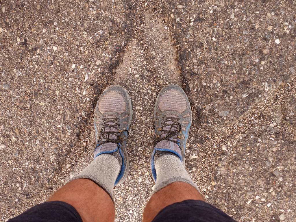
I walked a painful three miles into Ocotillo and sought a different solution. I tried two pairs of socks on each foot and walked a mile. The pain was still there. I dug out my first aid kit and removed a roll of gauze. I carefully wrapped each foot and put on two pairs of socks, along with my old pair of Saucony running shoes. I hadn’t worn them in three weeks. I took a few test steps and amazingly, my feet felt great!
With my foot problem solved, I turned my attention to the next 10 miles of my walk. With no frontage roads available, I was forced the walk Interstate 8 (which is illegal) after leaving Ocotillo. Like my illegal interstate walk in Arizona a few weeks back, I employed the “it’s easier to ask for forgiveness than permission strategy.”
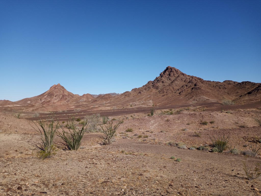
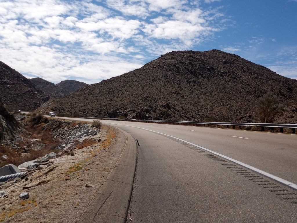
It was a long, steady, uphill climb out of Ocotillo. Interstate 8 boasted a massive shoulder and relatively light traffic. Although I was passed by four Border Patrol Agents and two State Troopers, none of them stopped to harass PJ and I. We gained 2,600 feet of elevation during the climb while walking over rocky, desert mountains covered with vehicle-sized boulders.
PJ and I triumphantly reached the exit for Old U.S. 80 just east of Jacumba Hot Springs. I let out an exhausted sigh of relief.
My friend Melanie, who I’m staying with in San Diego, made the drive down to my BLM Campground to visit after I walked another few miles. Melanie and I met hiking Pikes Peak last summer and have stayed in touch since then. She invited me to stay with her once I reached her neck of the woods. She brought a delicious batch of chili for dinner and some other snacks. We visited for a while before I couldn’t keep my eyes open any longer. Thank you for making the end of a tough day so special, Melanie! I’d be seeing her again a few days.
The three mile walk from my BLM Campground the next morning into Jacumba Hot Springs was all downhill. From there, the highway took a slight left turn and came within 100 yards of the border wall.
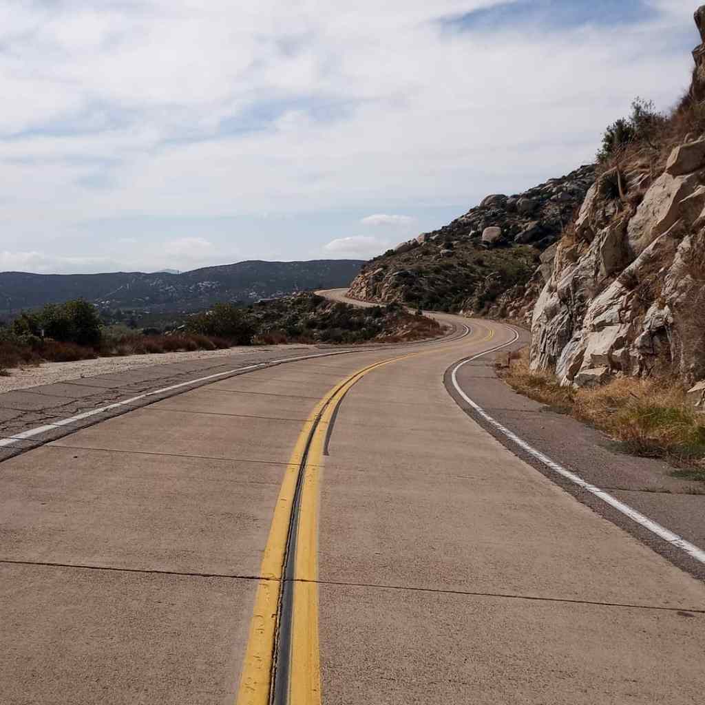
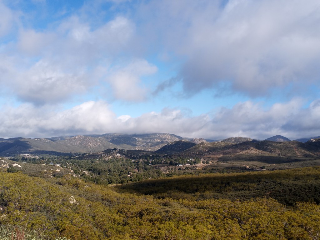
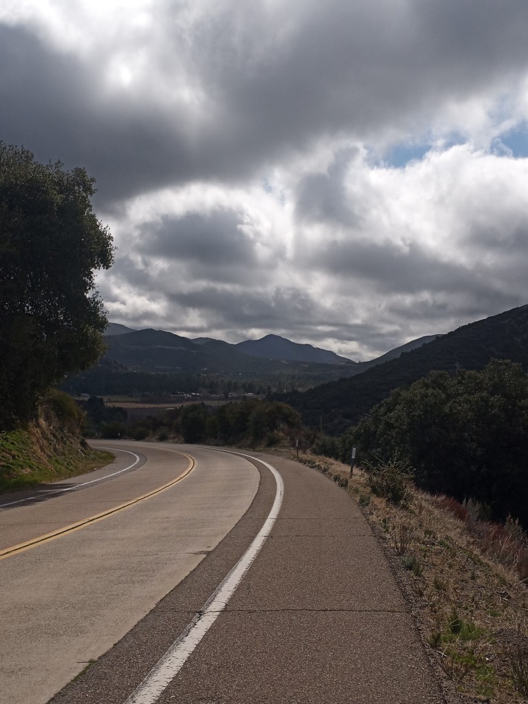
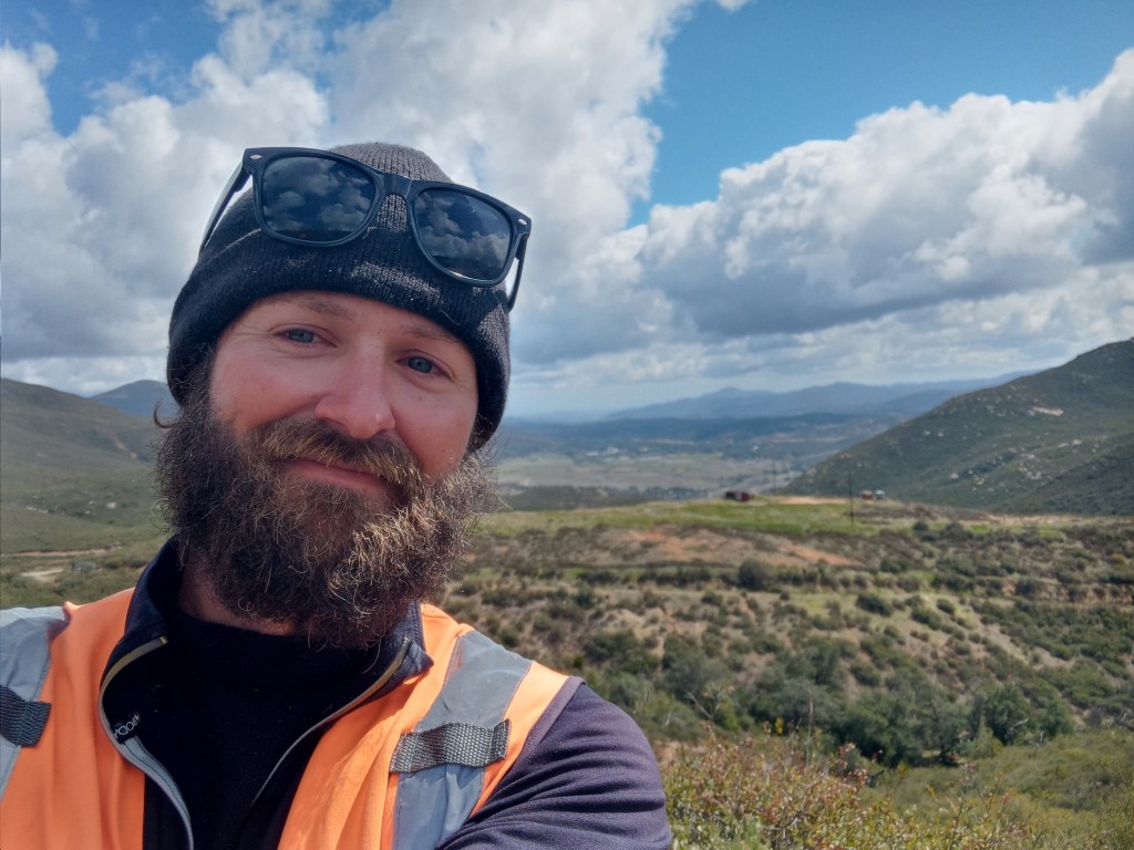
Old U.S. 80 quickly became one of my favorite roads in the country. It boasts a wide (and typically well-paved) shoulder, little traffic, and stupendous views. I walked past more granite covered hills during the first half of the day, then enjoyed panoramic views of distant mountains and forests throughout the afternoon. There were several taxing climbs, followed by long downhill stretches. I reached Cleveland National Forest shortly before dark and was so excited to see tall trees that I hugged a few.
I camped at Boulder Oaks Campground (about eight miles south of Pine Valley) for the night. While I was looking for a site I noticed one with a beautiful oak that was calling my name. I hugged that tree, too.
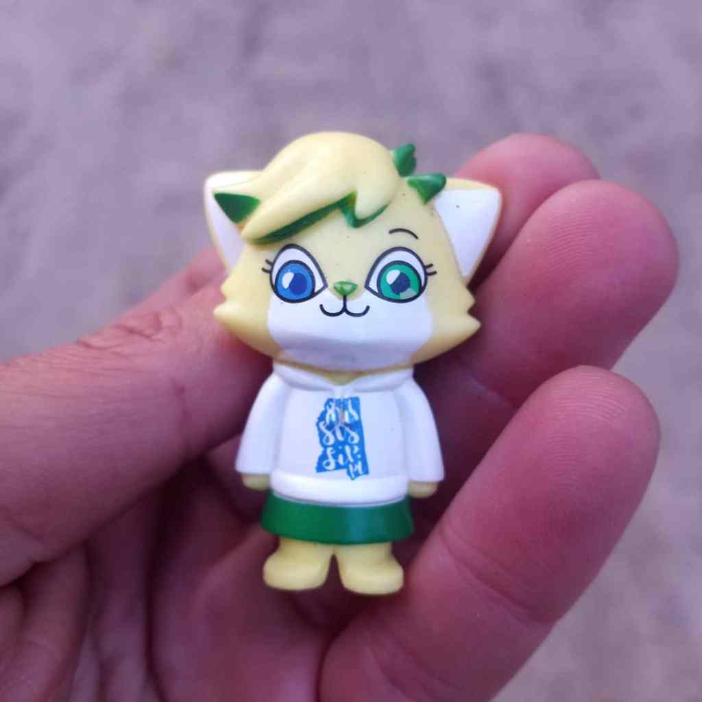
I was also delighted to find a small Mississippi cat figurine (I named her Sippy) who will serve as my mascot (or should I say mascat?) for the remaining 70ish miles of my journey.
I started my walk from Boulder Oaks Campground at 6:30 the next morning, ready for a day of uphill and downhill battles. I had one more day of serious mountains to walk! The first climb started immediately after leaving my campground. I gained about 1,000 feet of elevation in eight miles before reaching Laguna Summit, which is just over 4,000 feet. I had to play my go to “get fired up song” (which, of course, is “Snap Yo Fingers” by Lil’ John) within thirty minutes of starting the day.
Although Mt. Laguna was shrouded in clouds, the surrounding hills and valleys were picturesque under puffy clouds and baby blue skies.
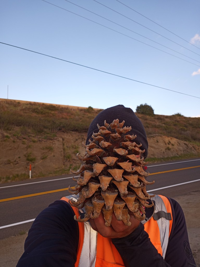
From there, Old U.S. 80 dropped 600 feet and passed through Pine Valley. I picked up a massive pine cone off the roadside as a souvenir. In case people didn’t think I was crazy enough pushing a jogging stroller down the side of the highway, now I’m pushing a jogging stroller down the side of the highway with a massive pine cone resting on top of PJ!
Since I couldn’t walk the interstate west of Pine Valley, I followed a few secondary roads. Although it added a few miles (and there were more hills), I continued to enjoy incredible views. My third walk across the country has been the flattest of the three by far, but the last few days in California have given me all I can handle mountain wise!
After walking through Viejo Indian Reservation, I met back up with Old U.S. 80 and wandered through quaint Alpine before calling it a day.
My friend Melanie picked me up 12 miles from her house. My days of camping were officially complete! I’ll be staying with her until my dad arrives in San Diego next week.
Melanie dropped PJ and I back off on the roadside the next morning. I easily could have walked with just my backpack, but PJ connected every step on walk two, and I don’t want walk three to be any different.
I donned my wet weather attire given rain was a near certainty. There is no doubt I have been blessed with great weather on this walk. I’ve been able to avoid three major storms by staying in hotels. I walked through some snow in the Guadalupe Mountains in Texas, had two passing showers in the deserts of California and New Mexico, and three days of storms in Florida (one of which was a tropical strom on day two of my journey). That means I’ve had to wear my rain gear a total of seven times (including today) in 120 days of walking.
Midway through the walk, the skies opened up and I walked through a torrential downpour for two miles. After the rain ended, the sun came back out and I quickly dried off.
I reached Melanie’s house after a 12 mile stroll. I have another 27 miles of walking to reach the Pacific!
I’m doing my best to “be here, not there,” during the last few days of my journey. I intend to soak up every moment, every ray of sunshine, and every rain drop along the way.
Favorite Three Pictures

Trip Stats
Days – 120
Miles – 2,773.5
Jars of Peanut Butter – 105
Roadside Change Count – $6.75, plus a 10 Peso piece.
Miles Per Shower in California – 63.88
Be prepared for a long, heartfelt post regarding the last two days of my walk to the Pacific very soon. Walk on!
-Ben

Amazing! Amazing! Oh Ben!!! We are thrilled at your journey’s evolutions. And loved your comment(s) about blessings abounding, even on the toughest of days.
If I lived near a Walmart I would today, just for looks, change my walking stroller Hazel’s tire there. For sure I can hug a huge pine tree, listen to Snap Yo Fingers, and pick up a pine cone (we have small ones) and wear it on my head. We love you and are so looking forward to more of your heartfelt end-of-the-line story. Trying now to feel your excitement! Thank you! Here’s to a glorious finish!
LikeLike
Awwwwwe thank you so much Jan – these are all experienced people should have at least once in their life. Especially changing a flat tire in front of Walmart! I love you too – I’ll be starting my final walk in an hour!
Ben
LikeLike
Thanks Ben for your continued coverage of your Pacific Bound Journey. I especially enjoyed the photos of the rainbow in the desert and of Jacob & Cassie. Great that they drove from LA to meet you for the day…a highlight of your journey!
We are having snow in the Twin Cities this afternoon so the sunny pictures are a welcome diversion from the wintry mix.
Happy Trails!
Liz
LikeLike